Bozeman Pass, Bozeman
Map

Map

Facts and practical information
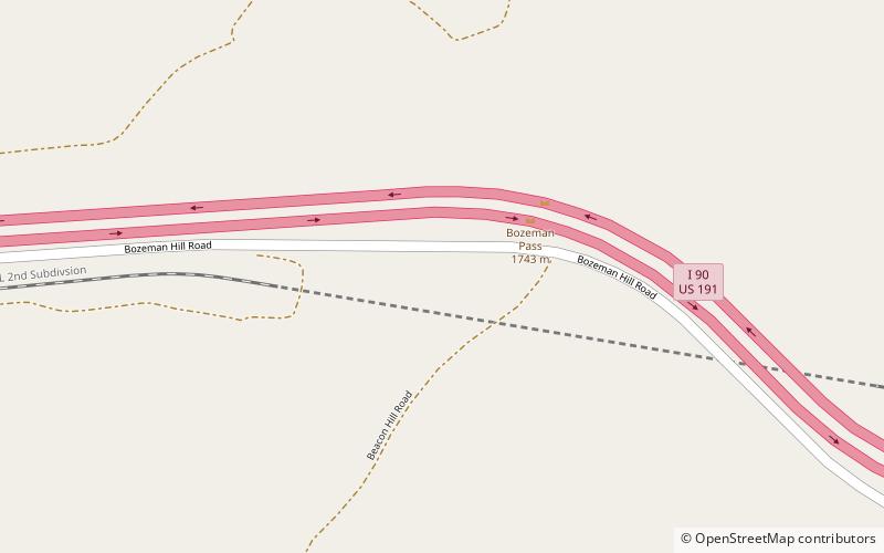
Bozeman Pass el. 5,702 feet is a mountain pass situated approximately 13 miles east of Bozeman, Montana and approximately 15 miles west of Livingston, Montana on Interstate 90. It separates the Bridger and Gallatin mountain ranges. ()
Maximum elevation: 5702 ftCoordinates: 45°39'60"N, 110°48'31"W
Address
Bozeman
ContactAdd
Social media
Add
Day trips
Bozeman Pass – popular in the area (distance from the attraction)
Nearby attractions include: Montana Grizzly Encounter.

