Gascoigne Bluff, Saint Simons Island
Map

Map

Facts and practical information
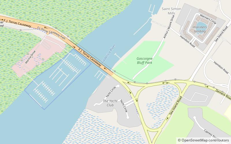
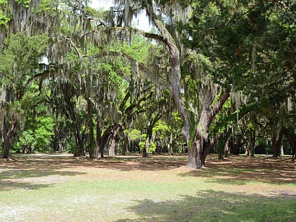
Gascoigne Bluff is a bluff next to the Frederica River on the western side of the island of St. Simons, Georgia which was a Native American campground, the site of a Franciscan monastery named San Buenaventura, and the site of the Province of Georgia's first naval base. ()
Built: 1832 (194 years ago)Coordinates: 31°10'1"N, 81°24'41"W
Address
St. SimonsSaint Simons Island
ContactAdd
Social media
Add
Day trips
Gascoigne Bluff – popular in the area (distance from the attraction)
Nearby attractions include: St. Simons Island Light, Fort Frederica National Monument, Sidney Lanier Bridge, East Beach Station.


