Agate Lake, Medford
Map

Map

Facts and practical information
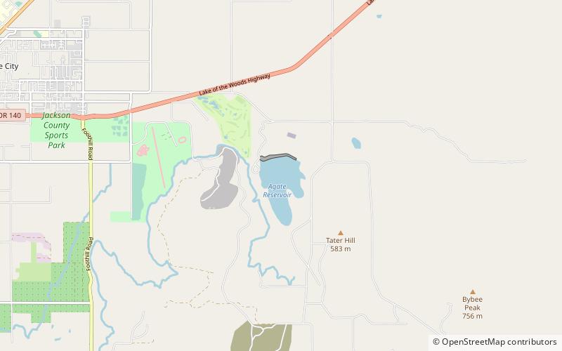
Agate Lake is a reservoir located 1,510 feet above sea level in Jackson County, Oregon, United States. It is 13 miles northeast of Medford, just north of Roxy Ann Peak. The lake is formed by the 86-foot tall Agate Dam, which impounds Dry Creek, in the Rogue River watershed. ()
Coordinates: 42°24'44"N, 122°46'13"W
Address
Medford
ContactAdd
Social media
Add
Day trips
Agate Lake – popular in the area (distance from the attraction)
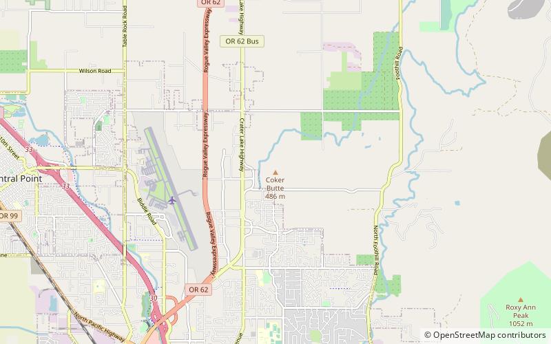
Nearby attractions include: Rogue Valley Mall, Antelope Creek Bridge, Coker Butte.


