Florida 30A, Panama City

Map
Facts and practical information
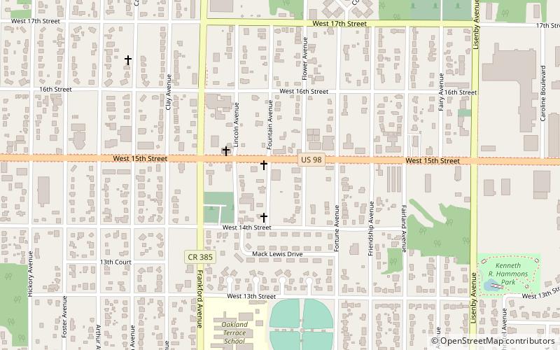
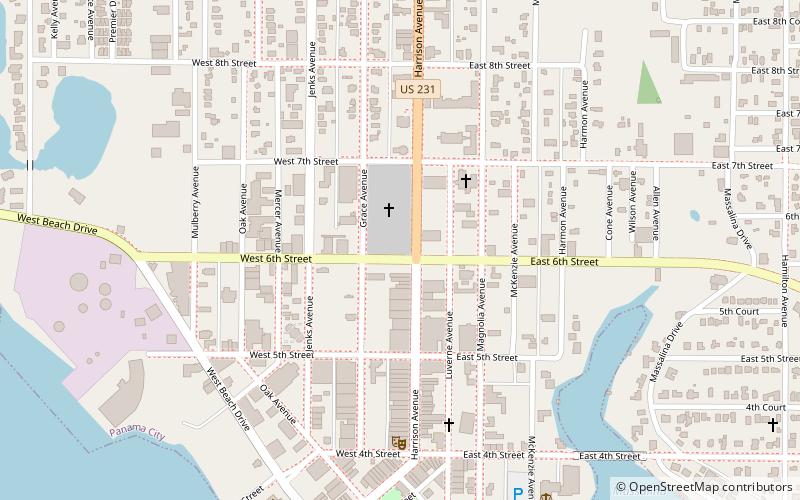
State Road 30A is a Florida Department of Transportation designation shared by four alternate routings of SR 30 in the Florida panhandle. Two segments have SR 30A signage; the other two do not as they are segments of U.S. Route 98. Three of the four SR 30A segments are next to the shore of the Gulf of Mexico for most of their length. ()
Coordinates: 30°10'30"N, 85°41'23"W
Address
Panama City
ContactAdd
Social media
Add
Day trips
Florida 30A – popular in the area (distance from the attraction)
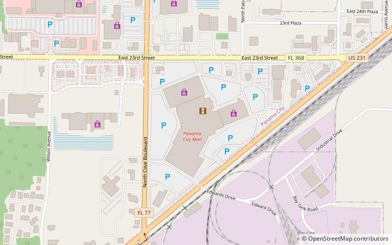
Nearby attractions include: Panama City Mall, First Baptist Church, St. Andrews State Park, Escape Zone 60 Panama City Beach.


