Bulow Creek State Park, Palm Coast

Gallery (1)
Map
Map
Facts and practical information
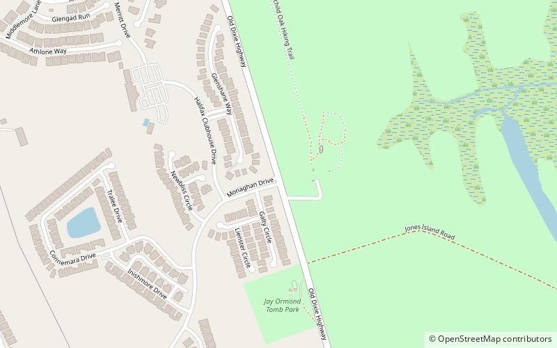
Bulow Creek State Park is a Florida State Park located five miles north of Ormond Beach. It is on Old Dixie Highway, next to the Atlantic Ocean. The park is adjacent to Bulow Plantation Ruins Historic State Park, and close to North Peninsula State Park, Gamble Rogers Memorial State Recreation Area and Tomoka State Park. ()
Established: 1981 (45 years ago)Coordinates: 29°23'18"N, 81°7'57"W
Address
HalifaxPalm Coast
ContactAdd
Social media
Add
Day trips

