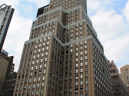
34th Street, New York City
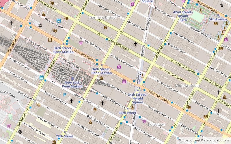
Map
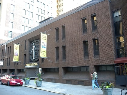
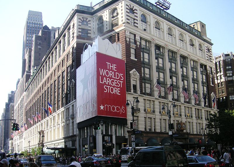
Gallery
Facts and practical information
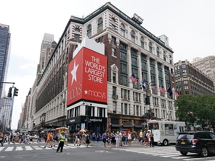
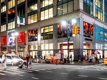
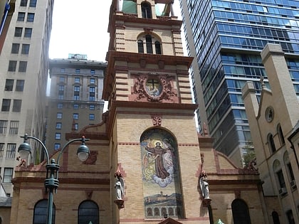
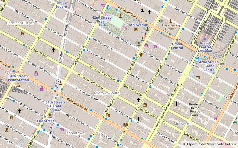
34th Street is a major crosstown street in the New York City borough of Manhattan. It runs the width of Manhattan Island from West Side Highway on the West Side to the FDR Drive on the East Side. 34th Street is used as a crosstown artery between New Jersey to the west and Queens to the east, connecting the Lincoln Tunnel to New Jersey with the Queens–Midtown Tunnel to Long Island. ()
Address
Midtown Manhattan (Garment District)New York City
ContactAdd
Social media
Add
Day trips
34th Street – popular in the area (distance from the attraction)
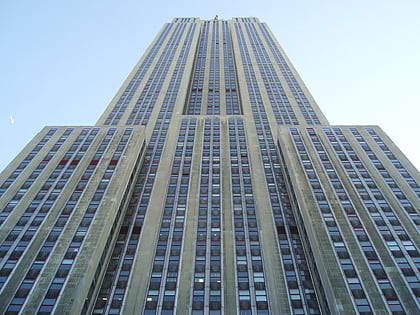
Nearby attractions include: Empire State Building, Macy's, Madison Square Garden, Herald Square.
Frequently Asked Questions (FAQ)
Which popular attractions are close to 34th Street?
Nearby attractions include Houdini Museum of New York, New York City (2 min walk), 15 Penn Plaza, New York City (2 min walk), Nelson Tower, New York City (3 min walk), Herald Square, New York City (3 min walk).
How to get to 34th Street by public transport?
The nearest stations to 34th Street:
Bus
Metro
Train
Ferry
Bus
- West 34th Street & Broadway • Lines: M34 Sbs, M34A Sbs (3 min walk)
- W 32 St/7 Av • Lines: Q32 (3 min walk)
Metro
- 34th Street–Herald Square • Lines: <F>, B, D, F, M, N, Q, R, W (3 min walk)
- 33rd Street • Lines: Hob–33 (4 min walk)
Train
- New York Penn Station (5 min walk)
- Pennsylvania Station (8 min walk)
Ferry
- Midtown/West 39th Street (26 min walk)
 Subway
 Manhattan Buses
