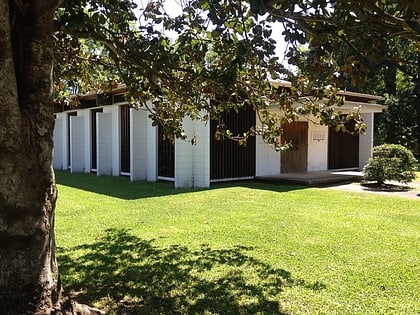
Alexandria Garden District, Alexandria
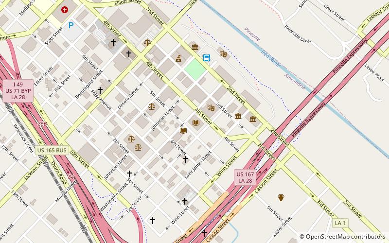
Map
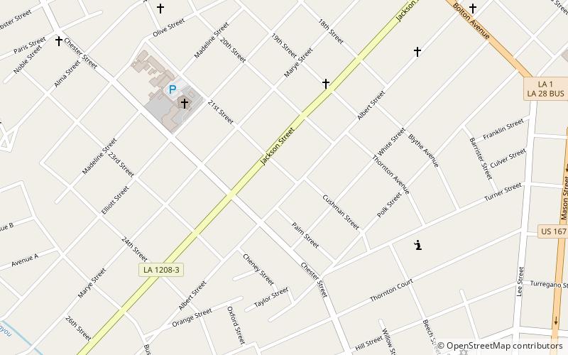
Map

Facts and practical information
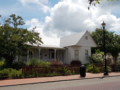
Alexandria Garden District is located in Alexandria, Louisiana. It was added to the National Register of Historic Places on April 9, 2001. Boundaries of the district are approximately described as Marye Street, Bolton Avenue, White Street, and Hynson Bayou. Only 15 percent of the 293 buildings included in the district are classified as non-contributing, a low rate among National Register Historic Districts in Louisiana. ()
Coordinates: 31°17'59"N, 92°27'32"W
Address
Central Alexandria (Garden District)Alexandria
ContactAdd
Social media
Add
Day trips
Alexandria Garden District – popular in the area (distance from the attraction)
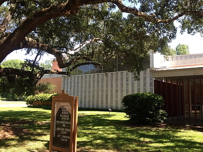
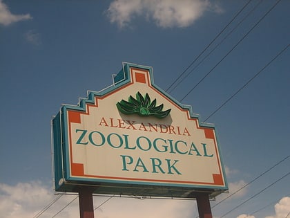
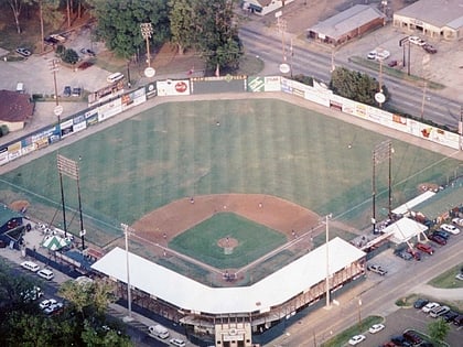
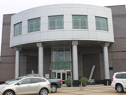
Nearby attractions include: Congregation Gemiluth Chassodim, Alexandria Zoological Park, Bringhurst Field, Alexandria Museum of Art.
Frequently Asked Questions (FAQ)
Which popular attractions are close to Alexandria Garden District?
Nearby attractions include Congregation Gemiluth Chassodim, Alexandria (7 min walk), B'nai Israel Traditional Synagogue, Alexandria (12 min walk), Alexandria Zoological Park, Alexandria (21 min walk), Bringhurst Field, Alexandria (24 min walk).
How to get to Alexandria Garden District by public transport?
The nearest stations to Alexandria Garden District:
Bus
Bus
- ATRANS Transit Station (32 min walk)

