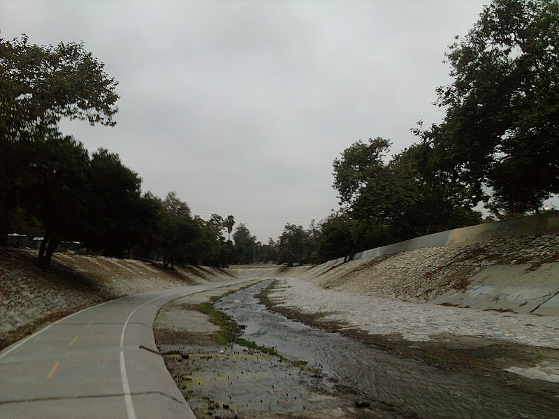
Arroyo Seco bicycle path, Los Angeles

Gallery (2)
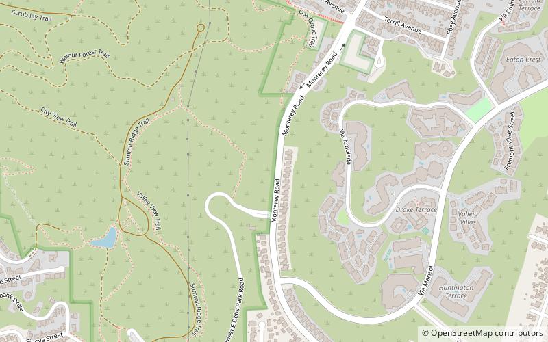
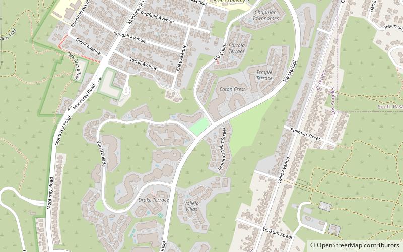
Map
Map
Gallery
Facts and practical information
The Arroyo Seco Bicycle Path is an approximately 2 miles long Class I bicycle path along the Arroyo Seco river channel in the Northeast Los Angeles region of Los Angeles County, California. It parallels to the Arroyo Seco Parkway also in the canyon. ()
Coordinates: 34°5'47"N, 118°11'25"W
Address
Northeast Los Angeles (Montecito Heights)Los Angeles
ContactAdd
Social media
Add
Getting there by public transportation
Public transportation stops near this location
- Bus
- Light rail
 Bus
Bus
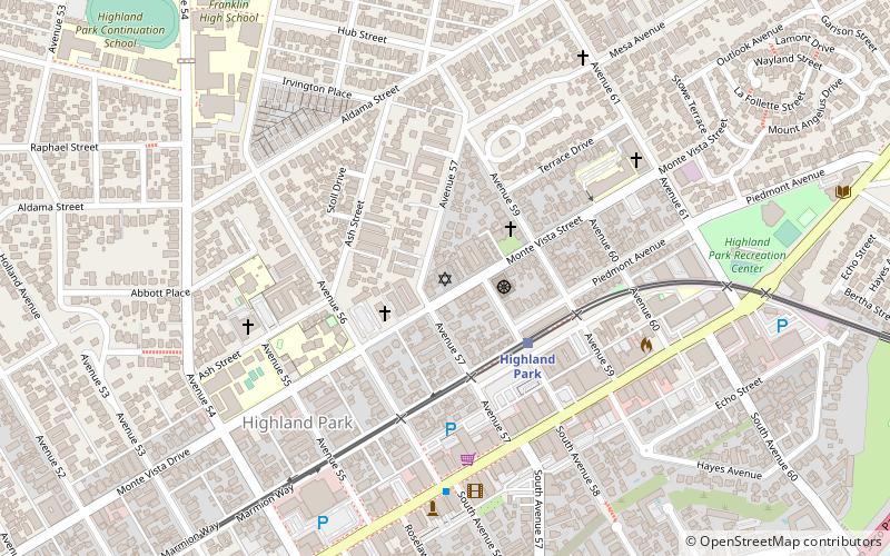
- Calculate routeSouthwest Museum 25 min walk
- Calculate routeHighland Park 27 min walk
- Calculate routePasadena / Sycamore 36 min walk
Maps Metro & Regional Rail
Metro & Regional RailDay trips


Frequently Asked Questions (FAQ)
Which popular attractions are close to Arroyo Seco bicycle path?
Nearby attractions include Ernest E. Debs Regional Park, Los Angeles (7 min walk), Bud Wiener Park, Los Angeles (10 min walk), Ziegler Estate, Los Angeles (21 min walk), Montecito Heights, Los Angeles (22 min walk).
How to get to Arroyo Seco bicycle path by public transport?
The nearest stations to Arroyo Seco bicycle path:
Light rail
Bus
Light rail
- Southwest Museum • Lines: L (25 min walk)
- Highland Park • Lines: L (27 min walk)
Bus
- Pasadena / Sycamore • Lines: 258 (36 min walk)