Atherton Island, Stockton

Map
Facts and practical information
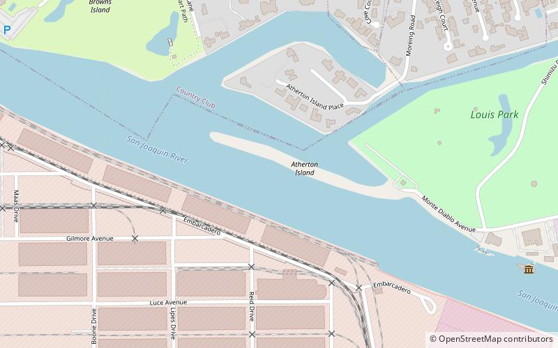
Atherton Island is a small island in the Sacramento–San Joaquin River Delta. It is part of San Joaquin County, California. Its coordinates are 37°57′22″N 121°21′01″W, and the United States Geological Survey measured its elevation as 13 ft in 1999. It appears on a 2015 USGS map of the area. ()
Coordinates: 37°57'22"N, 121°21'1"W
Address
PacificStockton
ContactAdd
Social media
Add
Day trips
Atherton Island – popular in the area (distance from the attraction)
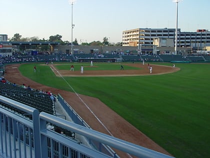
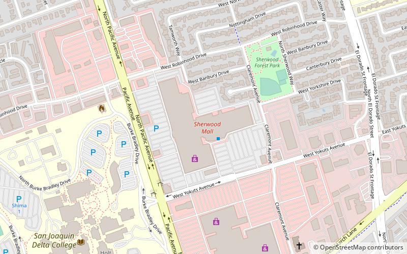
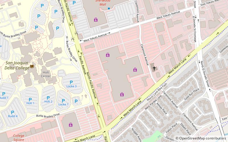
Nearby attractions include: Stockton Arena, Banner Island Ballpark, Sherwood Mall, Weberstown Mall.


