Auburn Boulevard, Sacramento

Map
Facts and practical information
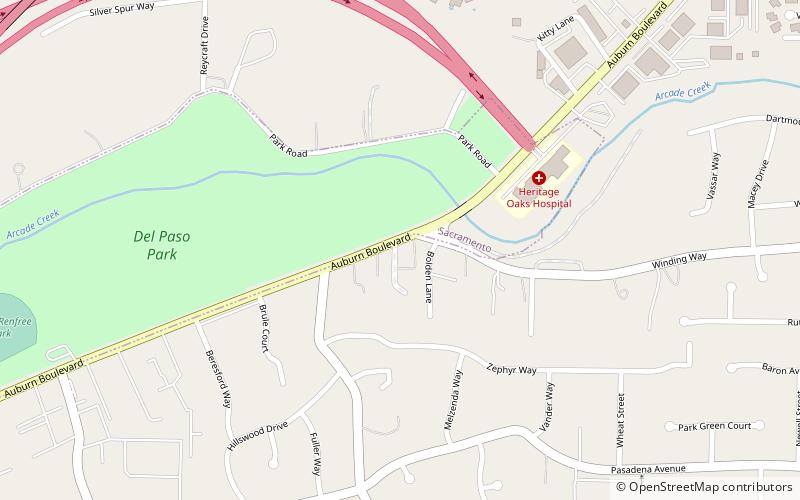
Auburn Boulevard is a major thoroughfare in Sacramento County, California, United States, and a tiny portion in Placer County, California carrying surface street traffic through the local communities of North Sacramento, Arden-Arcade, Foothill Farms, Citrus Heights, and Roseville. It was formerly part of U.S. Route 40, a former cross-country highway connecting downtown Sacramento to Roseville and points beyond. ()
Coordinates: 38°38'31"N, 121°22'5"W
Address
Arden - Arcade (Mira Loma)Sacramento
ContactAdd
Social media
Add
Day trips
Auburn Boulevard – popular in the area (distance from the attraction)
Nearby attractions include: Raging Waters Sacramento, Arden Fair Mall, Scandia Family Fun Center, Sacramento Children's Museum.
Frequently Asked Questions (FAQ)
How to get to Auburn Boulevard by public transport?
The nearest stations to Auburn Boulevard:
Train
Light rail
Train
- Watt/I-80 (22 min walk)
Light rail
- Watt/I-80 • Lines: Blue (23 min walk)


