Benson Tower, Portland
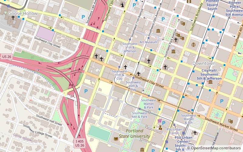
Map

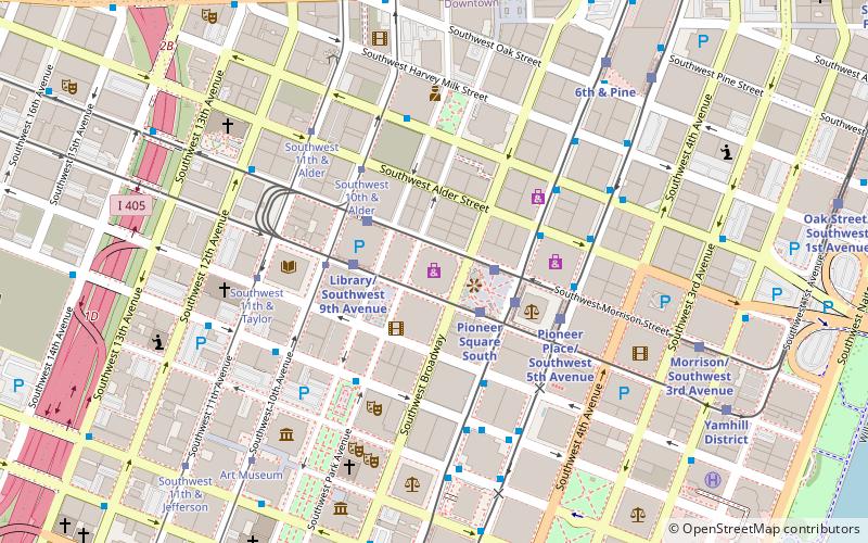
Map

Facts and practical information
The Benson Tower is a residential high-rise building located in downtown Portland, Oregon, United States. It stands at a height of 250 feet and was completed in late 2007. ()
Coordinates: 45°30'53"N, 122°41'9"W
Address
Downtown PortlandPortland
ContactAdd
Social media
Add
Day trips
Benson Tower – popular in the area (distance from the attraction)
Nearby attractions include: Portland Art Museum, Oregon Historical Society, Nordstrom, Portland Farmers Market.
Frequently Asked Questions (FAQ)
Which popular attractions are close to Benson Tower?
Nearby attractions include The Old Church, Portland (1 min walk), Cumberland Apartments, Portland (3 min walk), John S. Honeyman House, Portland (3 min walk), St. James Lutheran Church, Portland (3 min walk).
How to get to Benson Tower by public transport?
The nearest stations to Benson Tower:
Tram
Bus
Light rail
Train
Tram
- Southwest 11th & Clay • Lines: B, Ns (1 min walk)
- Southwest 10th & Clay • Lines: A, Ns (2 min walk)
Bus
- Southwest Columbia & 12th • Lines: 45, 55, 58, 6, 68 (3 min walk)
- Southwest Columbia & Park Avenue • Lines: 38, 45, 55, 58, 6, 68, 92, 96 (4 min walk)
Light rail
- Southwest 6th & Madison • Lines: Green, Yellow (7 min walk)
- PSU Urban Center/Southwest 5th & Mill • Lines: Green, Orange (8 min walk)
Train
- Portland Union Station (28 min walk)


