Boomtown Historic District, Martinsburg
Map

Map

Facts and practical information
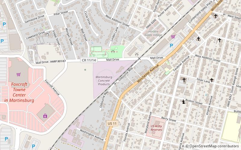
The Boomtown Historic District comprises the western and southern portions of Martinsburg, West Virginia, generally along the alignments of West King Street and Winchester Avenue, following the general path of the town's electric streetcar system. It includes a former industrial section of the town, home to a number of textile mills, as well as the housing that was built for mill workers. ()
Coordinates: 39°27'6"N, 77°58'44"W
Address
Martinsburg
ContactAdd
Social media
Add
Day trips
Boomtown Historic District – popular in the area (distance from the attraction)
Nearby attractions include: Foxcroft Towne Center at Martinsburg, Aspen Hall, The Commons Shopping Center, Apollo Theatre.
Frequently Asked Questions (FAQ)
Which popular attractions are close to Boomtown Historic District?
Nearby attractions include Martinsburg Mining, Martinsburg (8 min walk), Abell-Kilbourn House, Martinsburg (9 min walk), Rosemont Historic District, Martinsburg (11 min walk), Boydville, Martinsburg (15 min walk).
How to get to Boomtown Historic District by public transport?
The nearest stations to Boomtown Historic District:
Train
Train
- Martinsburg (28 min walk)


