Queen Elizabeth II Garden, New York City
Map
Map

Facts and practical information
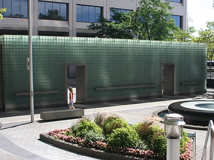
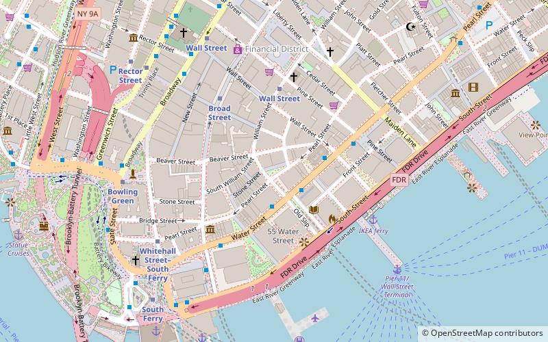
The Queen Elizabeth II September 11th Garden is located in Hanover Square in the Financial District of Lower Manhattan, New York City. It commemorates the Commonwealth victims of the September 11, 2001, attack on the World Trade Center. It was officially opened by Queen Elizabeth II on July 6, 2010. ()
Coordinates: 40°42'17"N, 74°0'34"W
Address
Downtown Manhattan (Financial District)New York City
ContactAdd
Social media
Add
Day trips
Queen Elizabeth II Garden – popular in the area (distance from the attraction)
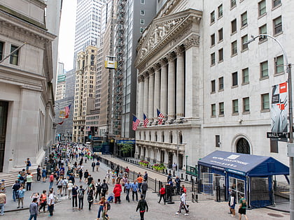
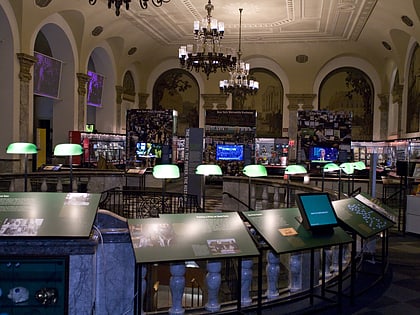
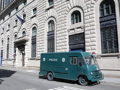
Nearby attractions include: Fraunces Tavern Museum, Wall Street, Museum of American Finance, New York City Police Museum.
Frequently Asked Questions (FAQ)
Which popular attractions are close to Queen Elizabeth II Garden?
Nearby attractions include Hanover Square, New York City (1 min walk), 1 Hanover Square, New York City (1 min walk), 1 William Street, New York City (1 min walk), 20 Exchange Place, New York City (2 min walk).
How to get to Queen Elizabeth II Garden by public transport?
The nearest stations to Queen Elizabeth II Garden:
Bus
Metro
Ferry
Bus
- Water St & Wall St • Lines: M15, M15-Sbs (3 min walk)
- Broadway & Battery Place • Lines: 120 (7 min walk)
Metro
- Broad Street • Lines: J, Z (4 min walk)
- Wall Street • Lines: 2, 3, 4, 5 (5 min walk)
Ferry
- Pier 11/Wall Street Terminal (7 min walk)
- Whitehall • Lines: Sif (9 min walk)
 Subway
 Manhattan Buses
