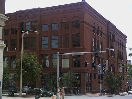
Bucktown, Davenport
Map
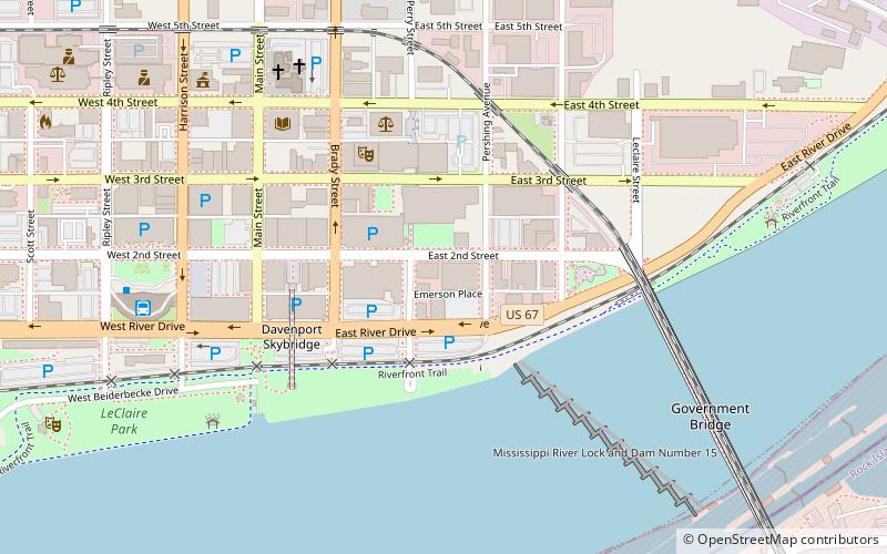
Map

Facts and practical information
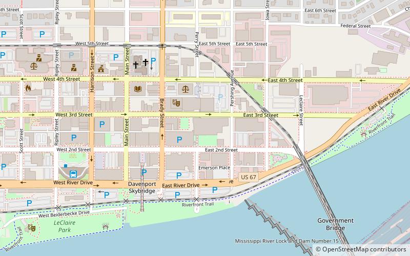
Bucktown is a historic area in the eastern end of downtown Davenport, Iowa, along the Mississippi River. Settled by many German immigrants, it was known in the early 20th century during the Prohibition era for its numerous speakeasies. Bucktown garnered national media headlines as a red-light district and the "wickedest city in America." ()
Coordinates: 41°31'16"N, 90°34'19"W
Address
Downtown DavenportDavenport
ContactAdd
Social media
Add
Day trips
Bucktown – popular in the area (distance from the attraction)
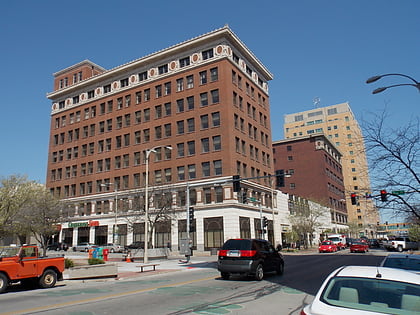
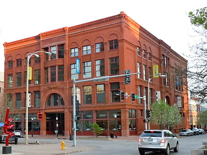
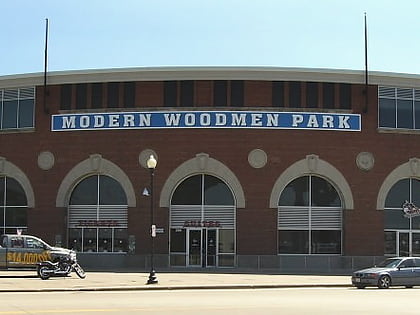
Nearby attractions include: Figge Art Museum, Putnam-Parker Block, J.H.C. Petersen's Sons' Store, Modern Woodmen Park.
Frequently Asked Questions (FAQ)
Which popular attractions are close to Bucktown?
Nearby attractions include Bucktown Center for the Arts, Davenport (1 min walk), Davenport Motor Row and Industrial Historic District, Davenport (2 min walk), Davenport RiverCenter, Davenport (2 min walk), Davenport Downtown Commercial Historic District, Davenport (5 min walk).
How to get to Bucktown by public transport?
The nearest stations to Bucktown:
Bus
Bus
- Ground Transportation Center (8 min walk)


