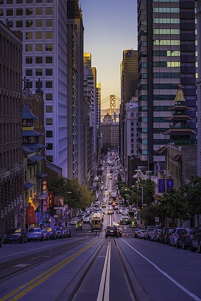
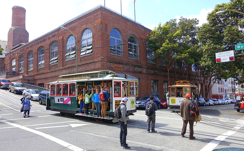
California Street, San Francisco

Gallery (3)
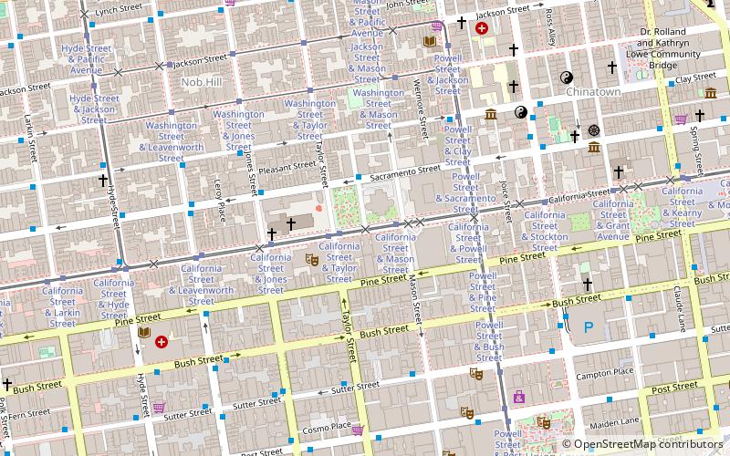
Map
Map
Gallery
Facts and practical information
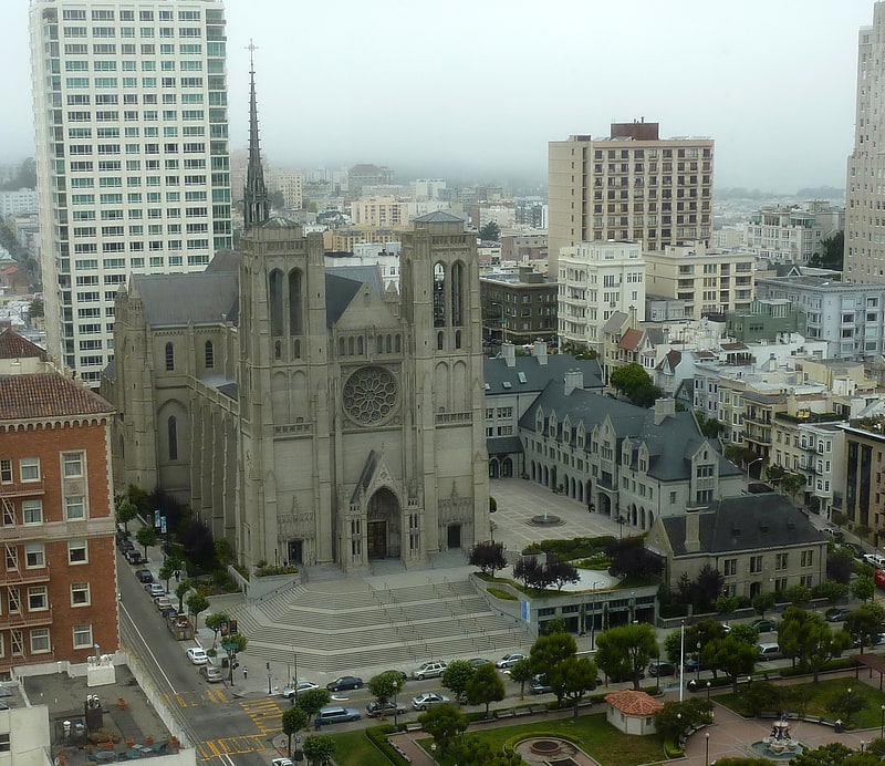
California Street is a major thoroughfare in San Francisco, California. It is one of the longest streets in San Francisco, and includes a number of important landmarks. It runs in an approximately straight 5.2 mi east-west line from the Financial District to Lincoln Park in the far Northwest corner of the City. ()
Address
Northeast San Francisco (Nob Hill)San Francisco
ContactAdd
Social media
Add
Getting there by public transportation
Public transportation stops near this location
- Metro
- Bus
- Trolleybus
- Tram
- Light rail
- Train
- Ferry
 Metro
Metro
- Calculate routeCalifornia Street & Mason Street 2 min walk
- Calculate routeCalifornia Street & Taylor Street 2 min walk
- Calculate routeCalifornia Street & Jones Street 4 min walk
- Calculate routeCalifornia Street & Powell Street 4 min walk
- Calculate routeSacramento Street & Sproule Lane 2 min walk
- Calculate routeClay Street & Mason Street 4 min walk
- Calculate routeLeavenworth Street & California Street 6 min walk
- Calculate routeJones Street & Sutter Street 6 min walk
- Calculate routePowell Street 14 min walk
- Calculate routeMontgomery Street 15 min walk
- Calculate routeEmbarcadero 21 min walk
- Calculate routePowell Street 15 min walk
- Calculate routeMontgomery Street 15 min walk
- Calculate routeEmbarcadero 21 min walk
- Calculate routeCivic Center 22 min walk
- Calculate routeFerry Building Gate B 28 min walk
- Calculate routeSan Francisco 4th & King Street 36 min walk
Maps Muni Metro
Muni MetroDay trips
California Street – popular in the area (distance from the attraction)
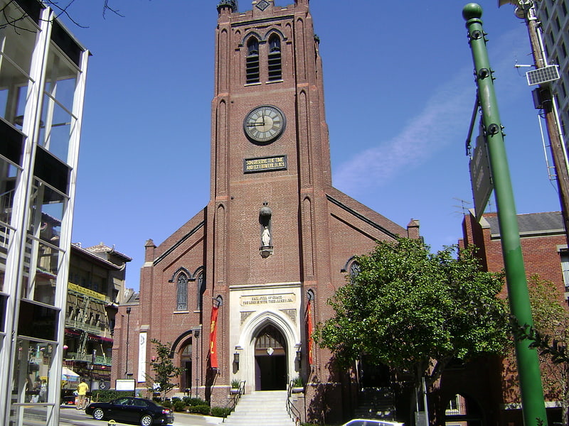
Nearby attractions include: Cable Car Museum, Old St. Mary's Cathedral, Dewey Monument, Grace Cathedral.


Frequently Asked Questions (FAQ)
Which popular attractions are close to California Street?
Nearby attractions include The Masonic, San Francisco (3 min walk), Grace Cathedral, San Francisco (4 min walk), Marines' Memorial Club, San Francisco (6 min walk), Cable Car Museum, San Francisco (6 min walk).
How to get to California Street by public transport?
The nearest stations to California Street:
Tram
Trolleybus
Bus
Metro
Light rail
Ferry
Train
Tram
- California Street & Mason Street (2 min walk)
- California Street & Taylor Street (2 min walk)
Trolleybus
- Sacramento Street & Sproule Lane • Lines: 1 (2 min walk)
- Clay Street & Mason Street • Lines: 1 (4 min walk)
Bus
- Leavenworth Street & California Street • Lines: 27 (6 min walk)
- Jones Street & Sutter Street • Lines: 27 (6 min walk)
Metro
- Powell Street • Lines: Blue, Green, Red, Yellow (14 min walk)
- Montgomery Street • Lines: Blue, Green, Red, Yellow (15 min walk)
Light rail
- Powell Street • Lines: K, N, S, T (15 min walk)
- Montgomery Street • Lines: K, N, S, T (15 min walk)
Ferry
- Ferry Building Gate B • Lines: San Francisco Bay Ferry (28 min walk)
Train
- San Francisco 4th & King Street (36 min walk)