Clark Atlanta University, Atlanta
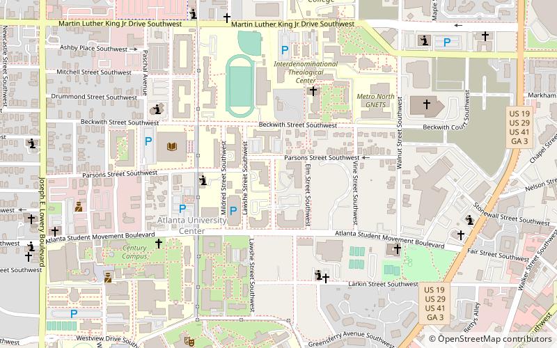
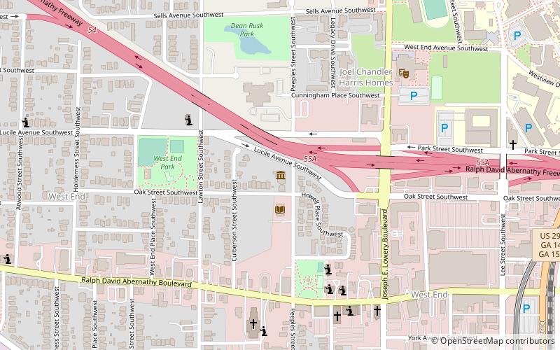
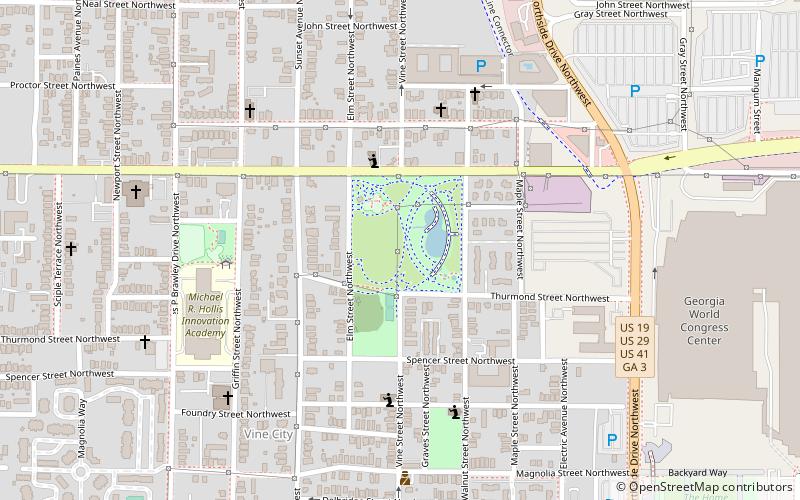
Map
Facts and practical information
Clark Atlanta University is a private Methodist historically black research university in Atlanta, Georgia. Clark Atlanta is the first Historically Black College or University in the Southern United States. Founded on September 19, 1865, as Atlanta University, it consolidated with Clark College to form Clark Atlanta University in 1988. It is classified among "R2: Doctoral Universities – High research activity". ()
Getting there by public transportation
Public transportation stops near this location
- Metro
- Bus
- Tram
 Metro
Metro
- Calculate routeVine City 14 min walk
- Calculate routeAshby 15 min walk
- Calculate routeGarnett 22 min walk
- Calculate routeGWCC/CNN Center 22 min walk
- Calculate routeAtlanta Greyhound Bus Station 21 min walk
- Calculate routeWest End Station 27 min walk
- Calculate routeCentennial Olympic Park 31 min walk
- Calculate routeLuckie at Cone 32 min walk
Day trips


Frequently Asked Questions (FAQ)
Which popular attractions are close to Clark Atlanta University?
Nearby attractions include Atlanta University Center, Atlanta (4 min walk), Robert W. Woodruff Library, Atlanta (8 min walk), Herndon Home, Atlanta (10 min walk), Spelman College Museum of Fine Art, Atlanta (11 min walk).
How to get to Clark Atlanta University by public transport?
The nearest stations to Clark Atlanta University:
Metro
Bus
Tram
Metro
- Vine City • Lines: Blue, Green (14 min walk)
- Ashby • Lines: Blue, Green (15 min walk)
Bus
- Atlanta Greyhound Bus Station (21 min walk)
- West End Station • Lines: 832 (27 min walk)
Tram
- Centennial Olympic Park • Lines: Atlanta Streetcar (31 min walk)
- Luckie at Cone • Lines: Atlanta Streetcar (32 min walk)