Congress Center, Portland
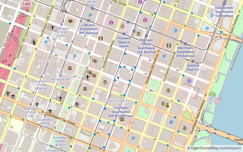
Map

Map

Facts and practical information
Congress Center is an office building completed in 1980 in Portland, Oregon. It is currently the ninth tallest building in the city. The building's current name dates to January 2002. ()
Coordinates: 45°30'59"N, 122°40'47"W
Address
Downtown PortlandPortland
ContactAdd
Social media
Add
Day trips
Congress Center – popular in the area (distance from the attraction)
Nearby attractions include: Pioneer Place, Oregon Historical Society, Pioneer Courthouse Square, Mark Building.
Frequently Asked Questions (FAQ)
Which popular attractions are close to Congress Center?
Nearby attractions include Portland Building, Portland (2 min walk), Public Service Building, Portland (2 min walk), Fountain for Company H, Portland (3 min walk), PacWest Center, Portland (3 min walk).
How to get to Congress Center by public transport?
The nearest stations to Congress Center:
Bus
Light rail
Tram
Train
Bus
- Southwest Main & 6th • Lines: 10, 14 (1 min walk)
- Southwest 6th & Main • Lines: 17, 8, 9 (1 min walk)
Light rail
- Southwest 6th & Madison • Lines: Green, Yellow (3 min walk)
- City Hall/Southwest 5th & Jefferson • Lines: Green, Orange (3 min walk)
Tram
- Art Museum • Lines: A, Ns (6 min walk)
- Central Library • Lines: A, Ns (6 min walk)
Train
- Portland Union Station (23 min walk)


