Domhoff Buildings, Cincinnati
Map
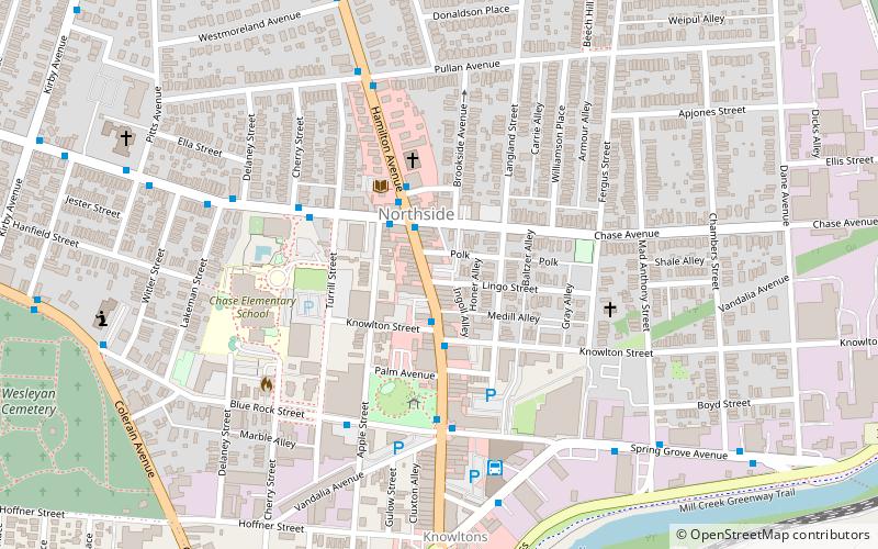
Map

Facts and practical information
The Domhoff Buildings are a pair of historic commercial buildings in the Northside neighborhood of Cincinnati, Ohio, United States. Designed by architect W.W. Franklin, the two buildings are located on one corner of the junction of Hamilton and Chase Avenues, that neighborhood's most important intersection. ()
Architectural style: Renaissance revivalCoordinates: 39°9'45"N, 84°32'22"W
Address
NorthsideCincinnati
ContactAdd
Social media
Add
Day trips
Domhoff Buildings – popular in the area (distance from the attraction)
Nearby attractions include: Northside, Spring Grove Cemetery, Samuel Hannaford House, Spring Grove Cemetery Chapel.
Frequently Asked Questions (FAQ)
Which popular attractions are close to Domhoff Buildings?
Nearby attractions include Northside, Cincinnati (2 min walk), Hoffner Historic District, Cincinnati (3 min walk), St. Pius X Catholic Church, Cincinnati (6 min walk), Northside United Methodist Church, Cincinnati (6 min walk).
How to get to Domhoff Buildings by public transport?
The nearest stations to Domhoff Buildings:
Bus
Bus
- Chase Ave & Hamilton Ave • Lines: 27 (2 min walk)
- Hamilton Ave & Hobart Ave • Lines: 27 (3 min walk)


