Downtown Rock Springs Historic District, Rock Springs
Map

Map

Facts and practical information
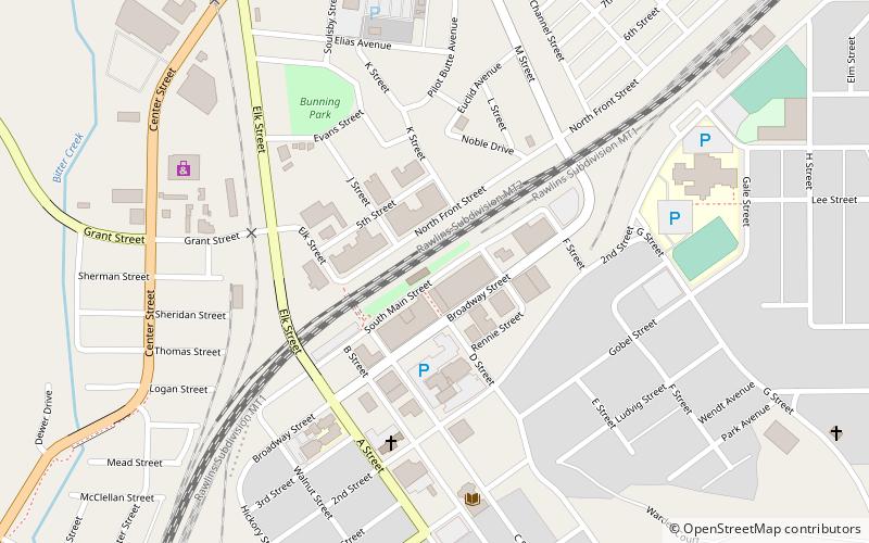
The Downtown Rock Springs Historic District is a 15.97-acre historic district that was listed on the National Register of Historic Places in 1994. It is roughly bounded by K, 4th, C, 2nd, A, and 5th Streets in downtown Rock Springs, Wyoming. ()
Coordinates: 41°35'13"N, 109°13'11"W
Address
Rock Springs
ContactAdd
Social media
Add
Day trips
Downtown Rock Springs Historic District – popular in the area (distance from the attraction)
Nearby attractions include: City Hall, Saints Cyril and Methodius Catholic Church and Rectory, Our Lady of Sorrows Catholic Church, Wardell Court Historic Residential District.
Frequently Asked Questions (FAQ)
Which popular attractions are close to Downtown Rock Springs Historic District?
Nearby attractions include City Hall, Rock Springs (3 min walk), Our Lady of Sorrows Catholic Church, Rock Springs (8 min walk), Saints Cyril and Methodius Catholic Church and Rectory, Rock Springs (8 min walk), First National Bank Building, Rock Springs (9 min walk).


