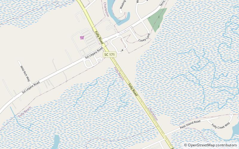
Folly boat, Folly Beach
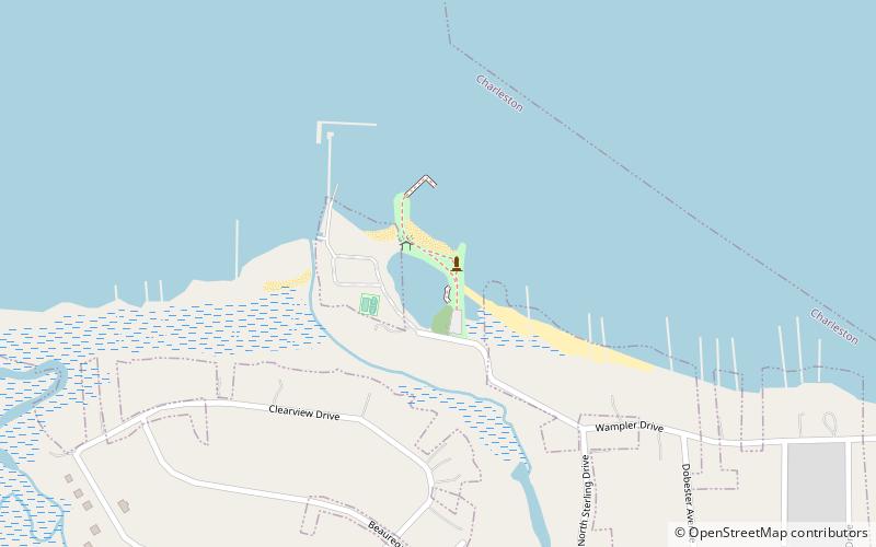
Map
Facts and practical information
The Folly Boat is a boat that washed up alongside Folly Road in Folly Beach, South Carolina during Hurricane Hugo in 1989. After nobody claimed the boat, passers-by began painting messages and pictures on the boat. It became an unofficial symbol of Folly Beach. ()
Coordinates: 32°41'1"N, 79°57'30"W
Address
James IslandFolly Beach
ContactAdd
Social media
Add
Day trips