Gay Street Historic District, Baltimore
Map

Map

Facts and practical information
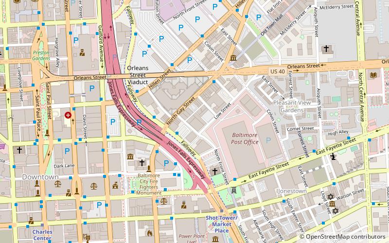
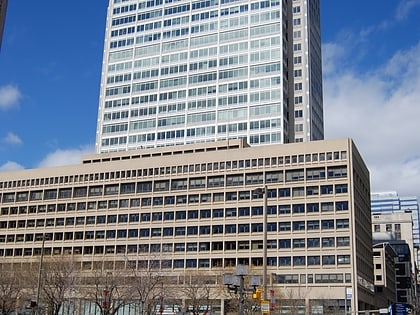
Gay Street Historic District is a national historic district in Baltimore, Maryland, United States. It is a notable example of a late-19th and early-20th century commercial corridor in a developing urban area. It includes a high concentration of small-scale commercial buildings or light manufacturing enterprise structures. It contains buildings displaying Victorian Eclectic, Beaux Arts, Italianate, and Romanesque elements, including two full-front, cast-iron buildings. ()
Architectural style: Renaissance revivalCoordinates: 39°17'35"N, 76°36'26"W
Address
Southeastern Baltimore (Jonestown)Baltimore
ContactAdd
Social media
Add
Day trips
Gay Street Historic District – popular in the area (distance from the attraction)
Nearby attractions include: War Memorial Plaza, Old Town Mall, 100 East Pratt Street, Little Italy.
Frequently Asked Questions (FAQ)
Which popular attractions are close to Gay Street Historic District?
Nearby attractions include Building at 239 North Gay Street, Baltimore (2 min walk), Old Town Savings Bank, Baltimore (3 min walk), St. Vincent de Paul Church, Baltimore (4 min walk), Zion Lutheran Church, Baltimore (5 min walk).
How to get to Gay Street Historic District by public transport?
The nearest stations to Gay Street Historic District:
Bus
Metro
Light rail
Train
Bus
- Gay Street Westbound • Lines: Green (2 min walk)
- City Hall • Lines: 164, 67, 76, 80 (3 min walk)
Metro
- Shot Tower/Market Place • Lines: M (6 min walk)
- Charles Center • Lines: M (12 min walk)
Light rail
- Lexington Market • Lines: Lr (17 min walk)
- Baltimore Arena • Lines: Lr (19 min walk)
Train
- Baltimore Camden Station (24 min walk)
- Baltimore Penn Station (29 min walk)


