Girard Fountain Park, Philadelphia
Map
Gallery
Facts and practical information
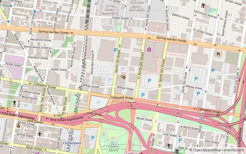
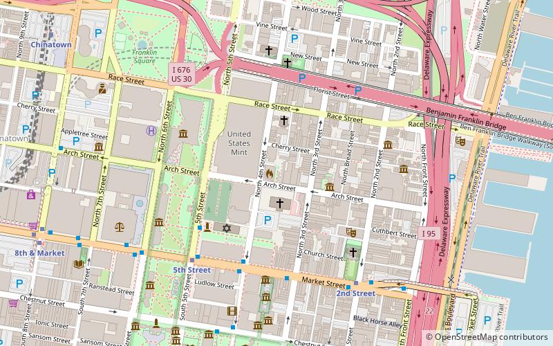
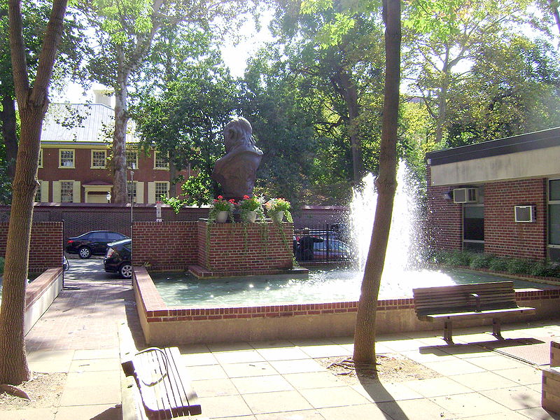
Girard Fountain Park is a 0.15-acre pocket park in the Old City neighborhood of Philadelphia, at 325 Arch Street. It is open to the public during daylight hours and is maintained by the Philadelphia Fire Department. ()
Elevation: 26 ft a.s.l.Coordinates: 39°57'9"N, 75°8'47"W
Address
Center City (Old City)Philadelphia
ContactAdd
Social media
Add
Day trips
Girard Fountain Park – popular in the area (distance from the attraction)
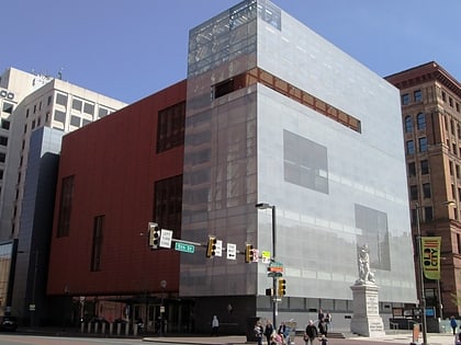
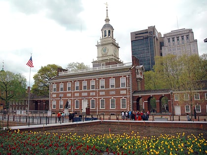
Nearby attractions include: National Constitution Center, National Museum of American Jewish History, Independence National Historical Park, Franklin Music Hall.
Frequently Asked Questions (FAQ)
Which popular attractions are close to Girard Fountain Park?
Nearby attractions include Arch Street Meeting House, Philadelphia (2 min walk), The Snyderman-Works Galleries, Philadelphia (2 min walk), Betsy Ross House, Philadelphia (3 min walk), The Center for Art in Wood, Philadelphia (3 min walk).
How to get to Girard Fountain Park by public transport?
The nearest stations to Girard Fountain Park:
Metro
Bus
Train
Tram
Light rail
Metro
- 5th Street • Lines: Mfl (6 min walk)
- 2nd Street • Lines: Mfl (6 min walk)
Bus
- FlixBus Philadelphia Market Street • Lines: 2602, 2680, N2610 (7 min walk)
- Washington Sq & Locust St • Lines: 12, 47 (15 min walk)
Train
- Jefferson Station (16 min walk)
- Suburban Station (29 min walk)
Tram
- 13th Street • Lines: 10, 11, 13, 34, 36 (22 min walk)
- 15th Street • Lines: 10, 11, 13, 34, 36 (26 min walk)
Light rail
- Adventure Aquarium • Lines: River Line (27 min walk)
- Cooper Street–Rutgers • Lines: River Line (31 min walk)

 SEPTA Regional Rail
