Glacier View Dam, Glacier National Park

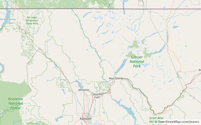
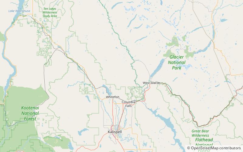
Map
Facts and practical information
Glacier View Dam was proposed in 1943 on the North Fork of the Flathead River, on the western border of Glacier National Park in Montana. The 416-foot tall dam, to be designed and constructed by the U.S. Army Corps of Engineers in the canyon between Huckleberry Mountain and Glacier View Mountain, would have flooded in excess of 10,000 acres of the park. In the face of determined opposition from the National Park Service and conservation groups, the dam was never built. ()
Coordinates: 48°36'42"N, 114°9'11"W
Address
Glacier National Park
ContactAdd
Social media
Add
Day trips
Glacier View Dam – popular in the area (distance from the attraction)
Nearby attractions include: Huckleberry Fire Lookout, Smoky Range.

