Gower Street, Los Angeles
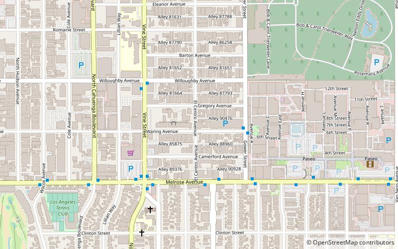
Map
Map

Facts and practical information
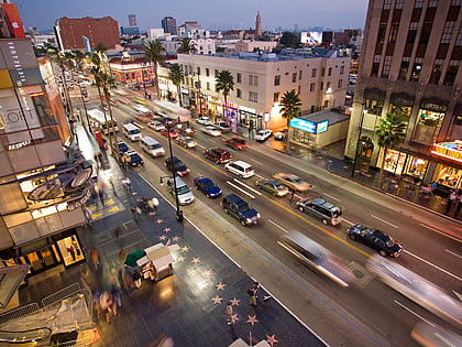
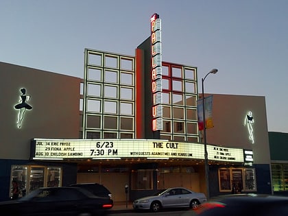
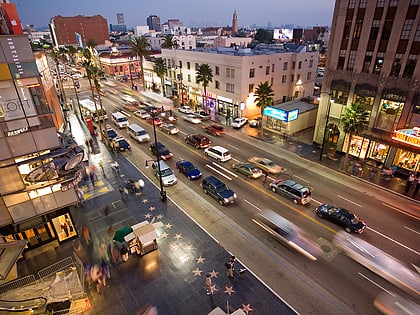
Gower Street is a street in Los Angeles, California that has played an important role in the ongoing evolution of Hollywood, particularly as the home to several prominent Poverty Row studios during the area's Golden Age. It marks the eastern terminus of the Hollywood Walk of Fame. ()
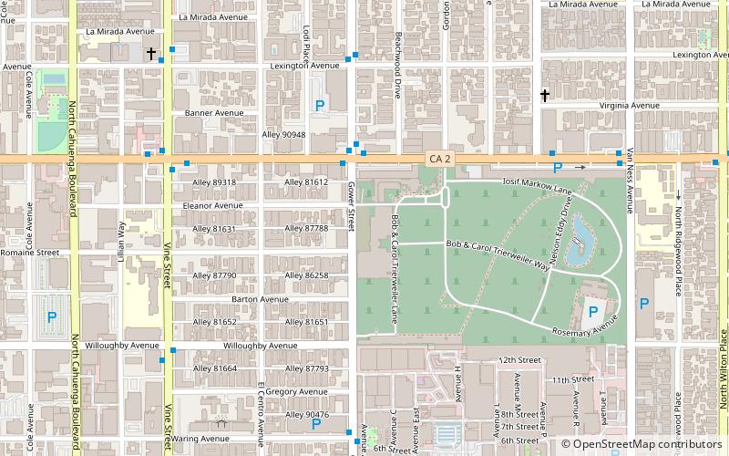
Coordinates: 34°5'22"N, 118°19'19"W
Address
Central Los Angeles (Hollywood)Los Angeles
ContactAdd
Social media
Add
Day trips
Gower Street – popular in the area (distance from the attraction)
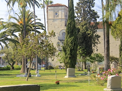
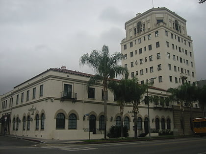
Nearby attractions include: The Hotel Cafe, Hollywood Walk of Fame, Hollywood Forever Cemetery, Hollywood Athletic Club.
Frequently Asked Questions (FAQ)
Which popular attractions are close to Gower Street?
Nearby attractions include Hollywood Forever Cemetery, Los Angeles (5 min walk), El Centro Theatre, Los Angeles (8 min walk), Colegrove, Los Angeles (11 min walk), Pickford Center for Motion Picture Study, Los Angeles (12 min walk).
How to get to Gower Street by public transport?
The nearest stations to Gower Street:
Bus
Metro
Bus
- Santa Monica & Gower • Lines: 4 (3 min walk)
- Gower & Santa Monica • Lines: Hollywood/Wilshire (3 min walk)
Metro
- Hollywood/Vine • Lines: B (23 min walk)

 Metro & Regional Rail