Island Drive, Jamestown

Map
Facts and practical information
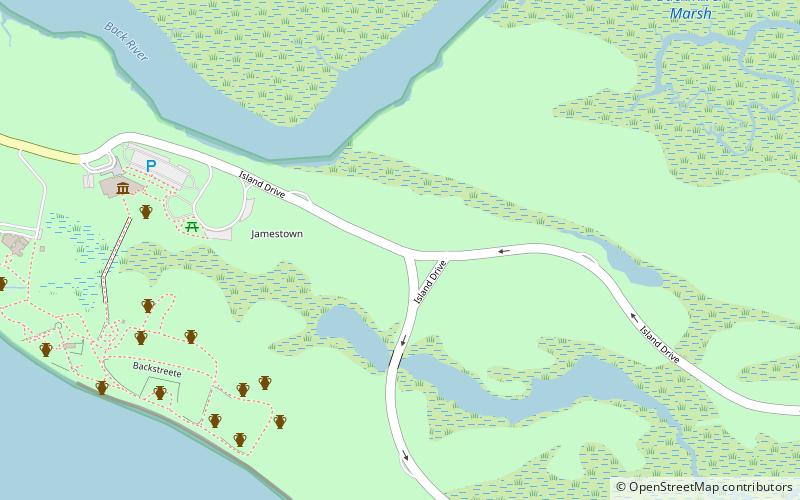
Island Drive is a small road in Jamestown, Virginia. The road, which is a part of Colonial National Historical Park, has a three-mile short route, and a five mile long route. It shows the natural environment that was encountered by the original Jamestown settlers, with large oil paintings depicting activities of the early colonists, including tobacco growing, farming, pottery, and lumbering. ()
Coordinates: 37°12'36"N, 76°46'17"W
Address
Jamestown
ContactAdd
Social media
Add
Day trips
Island Drive – popular in the area (distance from the attraction)
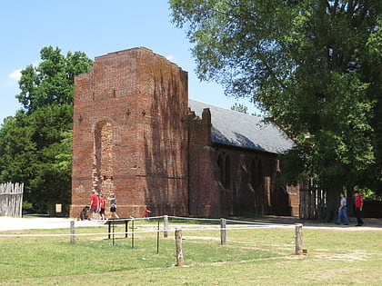
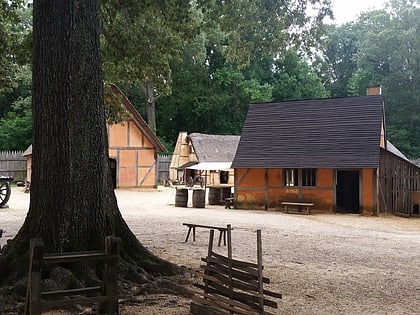
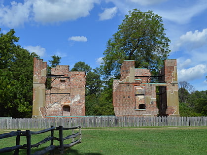
Nearby attractions include: Jamestown Church, Jamestown Settlement, Historic Jamestowne, Jamestown Glasshouse.
Frequently Asked Questions (FAQ)
Which popular attractions are close to Island Drive?
Nearby attractions include Historic Jamestowne, Jamestown (9 min walk), Jamestown Church, Jamestown Island (11 min walk).


