Madison Place, Washington D.C.
Map
Map

Facts and practical information
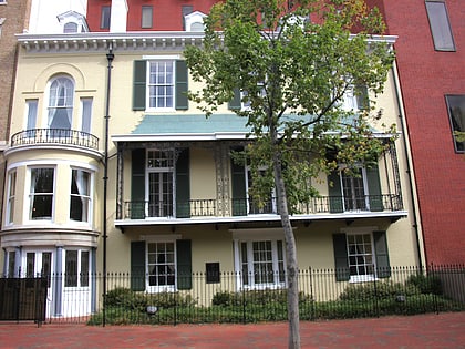
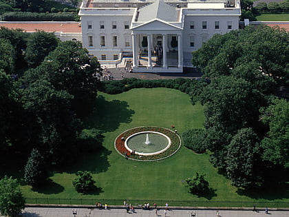
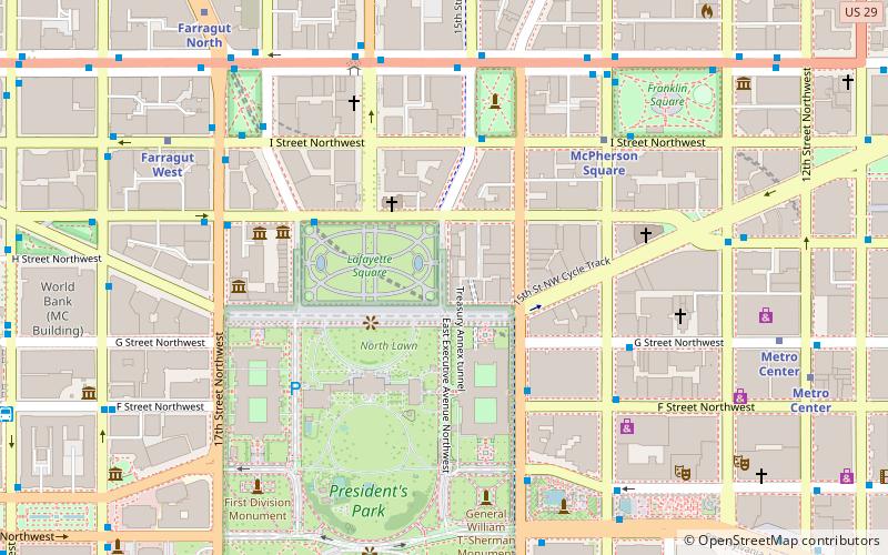
Madison Place is a one-block street located in northwest Washington, D.C., across from the White House. It forms the eastern border of Lafayette Square between Pennsylvania Avenue and H Street NW. Buildings on Madison Place include the Howard T. Markey National Courts Building, the Benjamin Ogle Tayloe House, the Cutts-Madison House, and the Treasury Building Annex. The street is part of the Lafayette Square Historic District. ()
Coordinates: 38°53'57"N, 77°2'6"W
Address
Northwest Washington (Dupont Circle)Washington D.C.
ContactAdd
Social media
Add
Day trips
Madison Place – popular in the area (distance from the attraction)
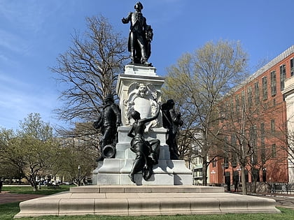
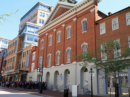
Nearby attractions include: Lafayette Square, Statue of the Marquis de Lafayette, Ford's Theatre, Executive Residence.
Frequently Asked Questions (FAQ)
Which popular attractions are close to Madison Place?
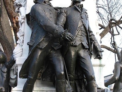
Nearby attractions include Statue of the Marquis de Lafayette, Washington D.C. (1 min walk), Major General Marquis Gilbert de Lafayette, Washington D.C. (1 min walk), Riggs National Bank, Washington D.C. (2 min walk), Lafayette Square Historic District, Washington D.C. (3 min walk).
How to get to Madison Place by public transport?
The nearest stations to Madison Place:
Metro
Bus
Train
Metro
- McPherson Square • Lines: Bl, Or, Sv (6 min walk)
- Farragut West • Lines: Bl, Or, Sv (9 min walk)
Bus
- 19th St & F St Northwest (13 min walk)
- MTA Bus Stop • Lines: 305, 315 (13 min walk)
Train
- L'Enfant (32 min walk)


