Littleton Main Street, Littleton
Map

Map

Facts and practical information
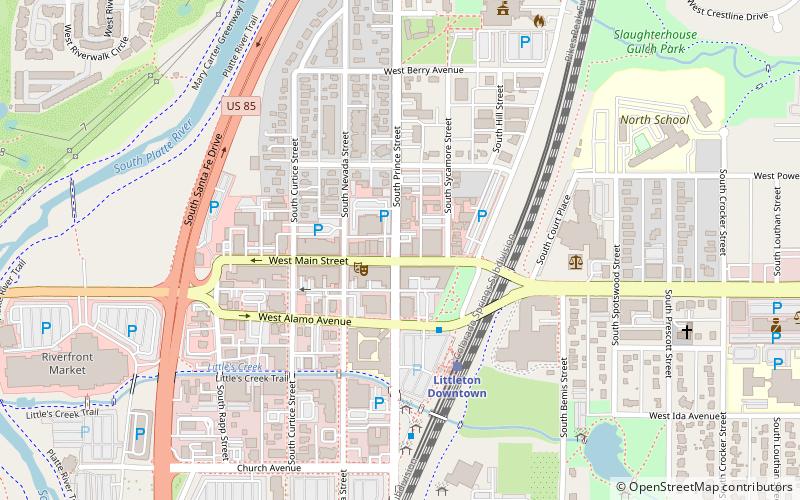
The Littleton Main Street is a historic district located along W. Main Street, from South Curtice Street, to South Sycamore Street in Littleton, Colorado. The district dates from 1890. The nineteenth century buildings are red pressed brick, many with stone foundations and trim. These buildings replaced smaller frame structures from the pioneer era and proclaimed the success of their builders through solid construction and application of exterior ornament. ()
Coordinates: 39°36'50"N, 105°0'58"W
Address
Central Littleton (Historic Downtown Littleton)Littleton
ContactAdd
Social media
Add
Day trips
Littleton Main Street – popular in the area (distance from the attraction)
Nearby attractions include: Columbine Country Club, Hudson Gardens, Colorado Journey Miniature Golf, Town Hall Arts Center.
Frequently Asked Questions (FAQ)
Which popular attractions are close to Littleton Main Street?
Nearby attractions include Town Hall Arts Center, Littleton (2 min walk), Geneva Home, Littleton (8 min walk), Knight-Wood House, Littleton (10 min walk), Arapahoe Community College, Littleton (11 min walk).
How to get to Littleton Main Street by public transport?
The nearest stations to Littleton Main Street:
Light rail
Light rail
- Littleton Downtown • Lines: C, D (4 min walk)


