North Guardian Angel, Zion National Park

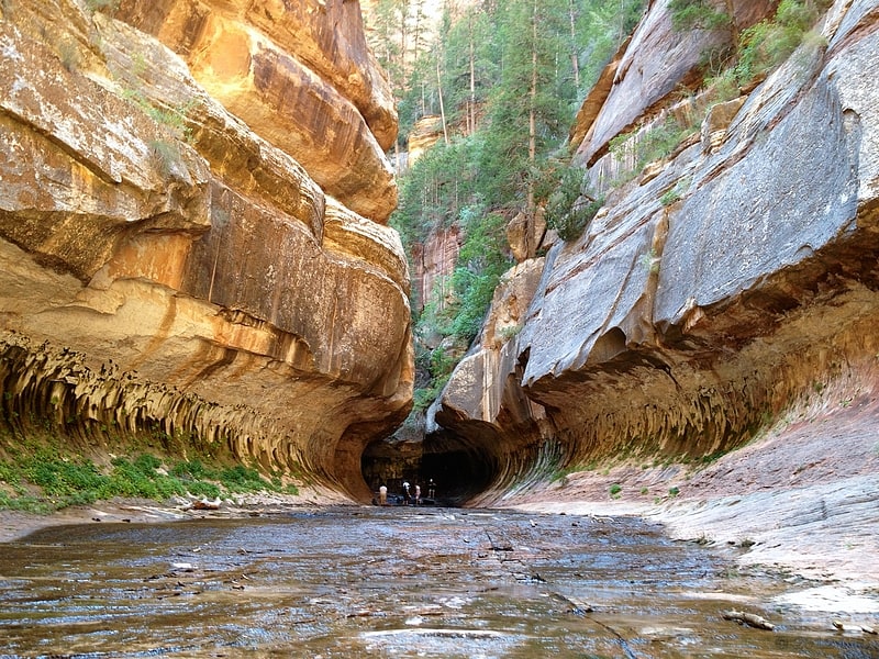
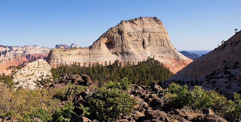
Gallery (3)
Map
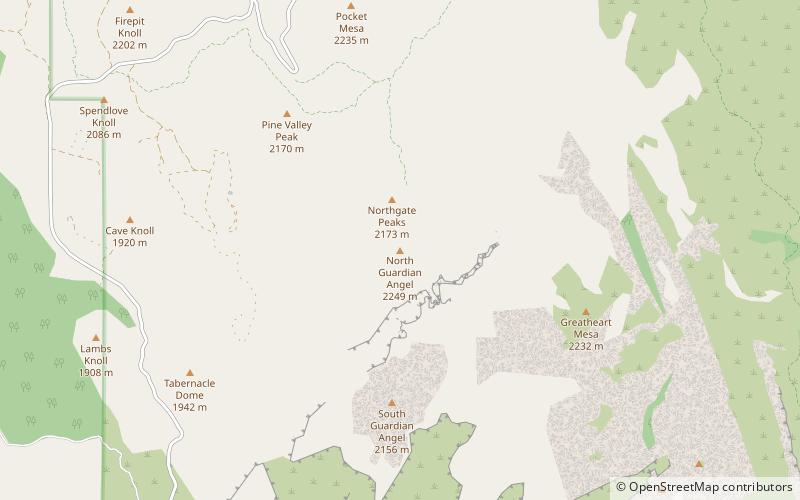
Map
Gallery
Facts and practical information
North Guardian Angel is a 7,395-foot elevation summit located in Zion National Park, in Washington County of southwest Utah, United States. ()
Coordinates: 37°18'60"N, 113°3'28"W
Address
Zion National Park
ContactAdd
Social media
Add
Day trips