Abraham Peak, Zion National Park
Map
Map

Facts and practical information
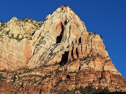
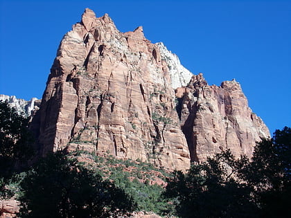
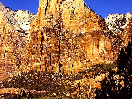
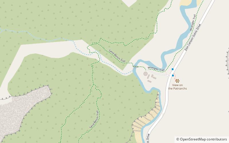
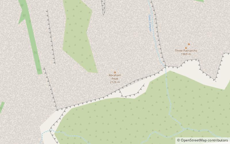
Abraham Peak is a 2,000-foot tall rock formation in Zion National Park in Washington County, Utah, United States. Access to Abraham Peak is from the main Park road through Sand Beach Trail. Abraham Peak is the tallest of the three peaks that make the Three Patriarchs. Across from Abraham Peak is prominent The Sentinel. ()
Coordinates: 37°14'35"N, 112°58'43"W
Address
Zion National Park
ContactAdd
Social media
Add
Day trips
Abraham Peak – popular in the area (distance from the attraction)
Nearby attractions include: Lady Mountain, Mount Moroni, Isaac Peak, Meridian Tower.
Frequently Asked Questions (FAQ)
Which popular attractions are close to Abraham Peak?
Nearby attractions include Isaac Peak, Zion National Park (9 min walk), Jacob Peak, Zion National Park (13 min walk), Mount Moroni, Zion National Park (21 min walk), Court of the Patriarchs, Zion National Park (22 min walk).
How to get to Abraham Peak by public transport?
The nearest stations to Abraham Peak:
Bus
Bus
- Court of the Patriarchs • Lines: Zion Shuttle (Northbound), Zion Shuttle (Southbound) (28 min walk)

