Brooklyn Heights Historic District, Sea Gate
Map
Gallery
Facts and practical information
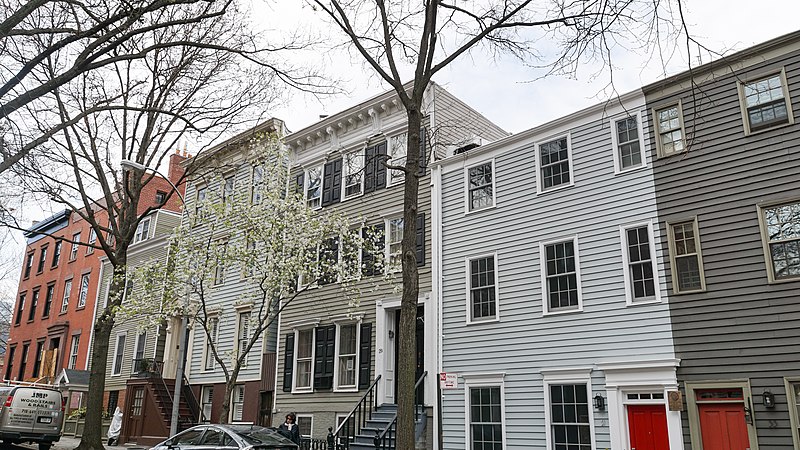
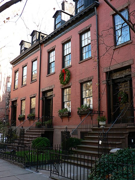
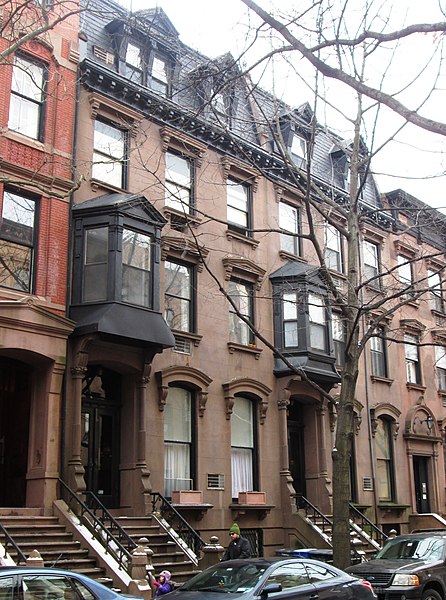
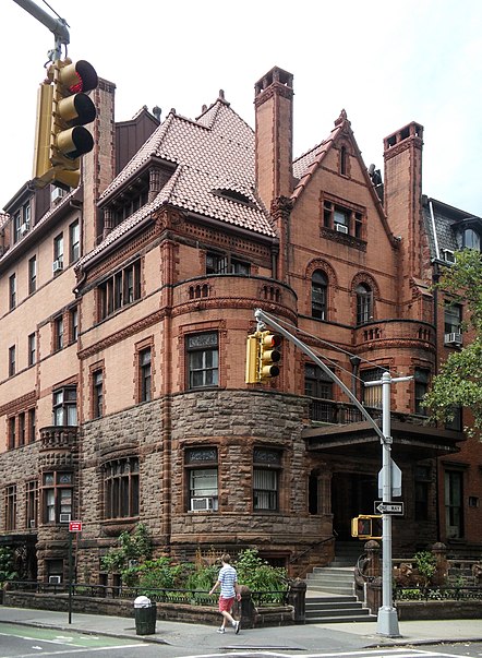
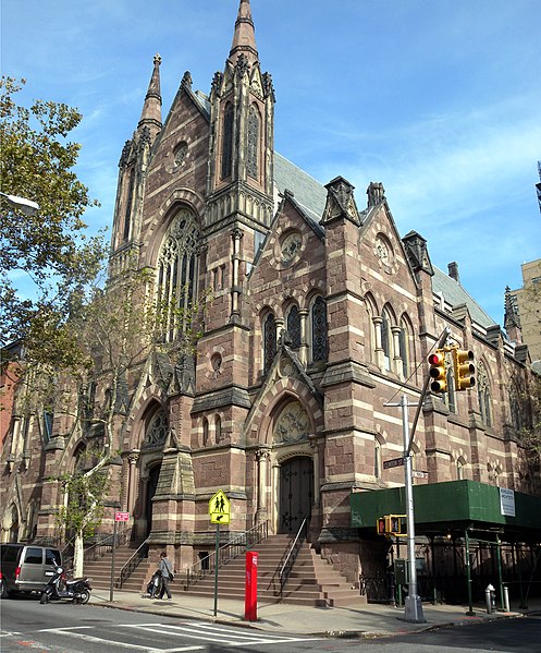
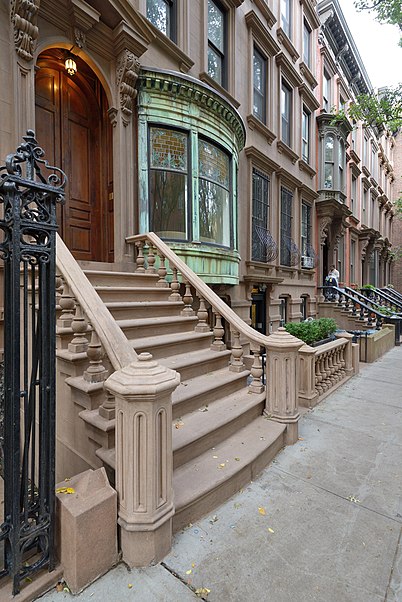
The Brooklyn Heights Historic District is a historic district that comprises much of the Brooklyn Heights neighborhood of Brooklyn, New York City. It was named a National Historic Landmark in January, 1965, designated a New York City Landmark in November, 1965, and added to the National Register of Historic Places in October, 1966. ()
Area: 140 acres (0.2187 mi²)Coordinates: 40°41'48"N, 73°59'48"W
Address
Northwestern Brooklyn (Brooklyn Heights)Sea Gate
ContactAdd
Social media
Add
Day trips
Brooklyn Heights Historic District – popular in the area (distance from the attraction)
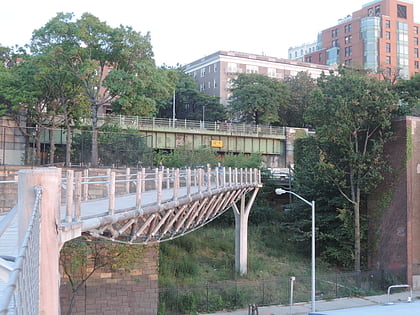
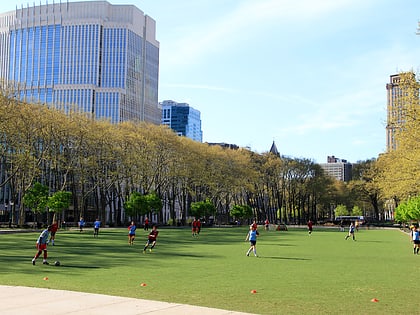
Nearby attractions include: Brooklyn Bridge Park, Squibb Park Bridge, Cadman Plaza, Brooklyn Heights Promenade.
Frequently Asked Questions (FAQ)
Which popular attractions are close to Brooklyn Heights Historic District?
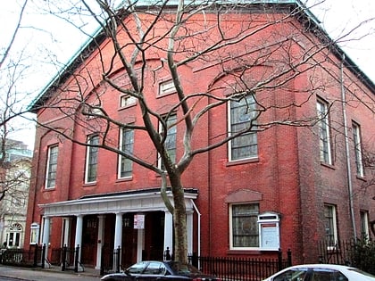
Nearby attractions include Brooklyn Heights Promenade, New York City (3 min walk), Brooklyn Heights, New York City (3 min walk), Brooklyn Bridge Park, New York City (4 min walk), Brooklyn Arts Gallery, Sea Gate (6 min walk).
How to get to Brooklyn Heights Historic District by public transport?
The nearest stations to Brooklyn Heights Historic District:
Metro
Bus
Ferry
Train
Metro
- Clark Street • Lines: 2, 3 (6 min walk)
- Court Street • Lines: N, R (8 min walk)
Bus
- Sands Street & Pearl Street • Lines: B67, B69 (14 min walk)
- Sands Street & Gold Street • Lines: B69 (19 min walk)
Ferry
- Pier 11/Wall Street Terminal (16 min walk)
- Whitehall • Lines: Sif (23 min walk)
Train
- Atlantic Terminal (34 min walk)


