Hell's Kitchen Park, New York City
Map

Map

Facts and practical information
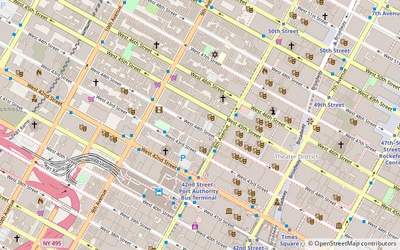
Hell's Kitchen Park is a 0.58-acre park in Hell's Kitchen in Manhattan, New York City. ()
Elevation: 33 ft a.s.l.Coordinates: 40°45'47"N, 73°59'33"W
Address
Midtown Manhattan (Hell's Kitchen)New York City
Contact
+1 212-765-8565
Social media
Add
Day trips
Hell's Kitchen Park – popular in the area (distance from the attraction)
Nearby attractions include: Industry Bar, Birdland, St. Luke's Theatre, Playwrights Horizons.
Frequently Asked Questions (FAQ)
Which popular attractions are close to Hell's Kitchen Park?
Nearby attractions include Hell's Kitchen, New York City (3 min walk), Saints Kyril & Metodi Bulgarian Eastern Orthodox Diocesan Cathedral, New York City (5 min walk), New Dramatists, New York City (6 min walk), One Worldwide Plaza, New York City (6 min walk).
How to get to Hell's Kitchen Park by public transport?
The nearest stations to Hell's Kitchen Park:
Bus
Metro
Ferry
Train
Light rail
Bus
- West 49th Street & 10th Avenue • Lines: M50 (3 min walk)
- West 50th Street & 9th Avenue • Lines: M50 (5 min walk)
Metro
- 50th Street • Lines: A, C, E (10 min walk)
Ferry
- Midtown/West 39th Street (16 min walk)
Train
- Pennsylvania Station (21 min walk)
- New York Penn Station (23 min walk)
Light rail
- Port Imperial • Lines: Hblr (36 min walk)

 Subway
 Manhattan Buses
