Kennebunkport Historic District, Kennebunkport
Map

Map

Facts and practical information
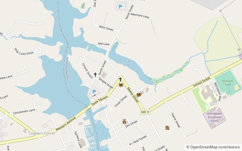
The Kennebunkport Historic District encompasses most of the village center of Kennebunkport, Maine. It includes the town's highest concentration of historic architecture, with many buildings from the late 18th and early 19th century, when Kennebunkport was at its height as a shipping and shipbuilding center. The district was added to the National Register of Historic Places on May 6, 1976. ()
Coordinates: 43°21'46"N, 70°28'33"W
Address
Kennebunkport
ContactAdd
Social media
Add
Day trips
Kennebunkport Historic District – popular in the area (distance from the attraction)
Nearby attractions include: First Chance Whalewatch, Seashore Trolley Museum, Wedding Cake House, Walker's Point Estate.


