Massachusetts Avenue Historic District, Worcester
Map

Gallery

Facts and practical information
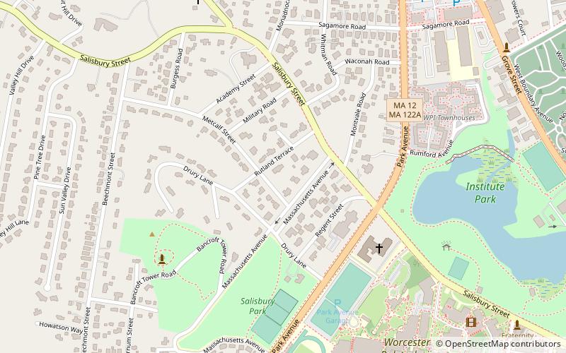
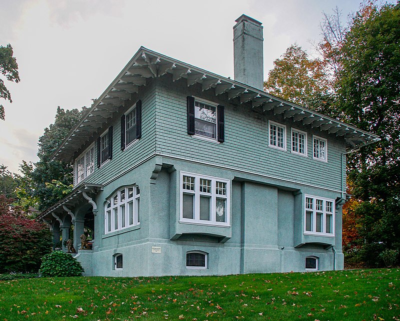
The Massachusetts Avenue Historic District in Worcester, Massachusetts is a 5-acre historic district that was listed on the National Register of Historic Places in 1971. At that time, it included 11 contributing buildings and one other contributing site. ()
Coordinates: 42°16'42"N, 71°48'44"W
Address
West Worcester (Salisbury Street)Worcester
ContactAdd
Social media
Add
Day trips
Massachusetts Avenue Historic District – popular in the area (distance from the attraction)
Nearby attractions include: DCU Center, Worcester Art Museum, Armsby Abbey, Equestrian statue of Charles Devens.
Frequently Asked Questions (FAQ)
Which popular attractions are close to Massachusetts Avenue Historic District?
Nearby attractions include American Antiquarian Society, Worcester (4 min walk), Bancroft Tower, Worcester (6 min walk), Aldus Chapin Higgins House, Worcester (7 min walk), Worcester Center for Crafts, Worcester (8 min walk).
How to get to Massachusetts Avenue Historic District by public transport?
The nearest stations to Massachusetts Avenue Historic District:
Bus
Bus
- Worcester Bus Station (37 min walk)


