Pachappa Hill, Riverside
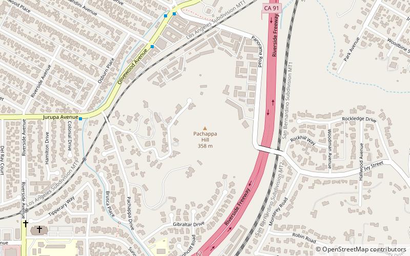
Map
Facts and practical information
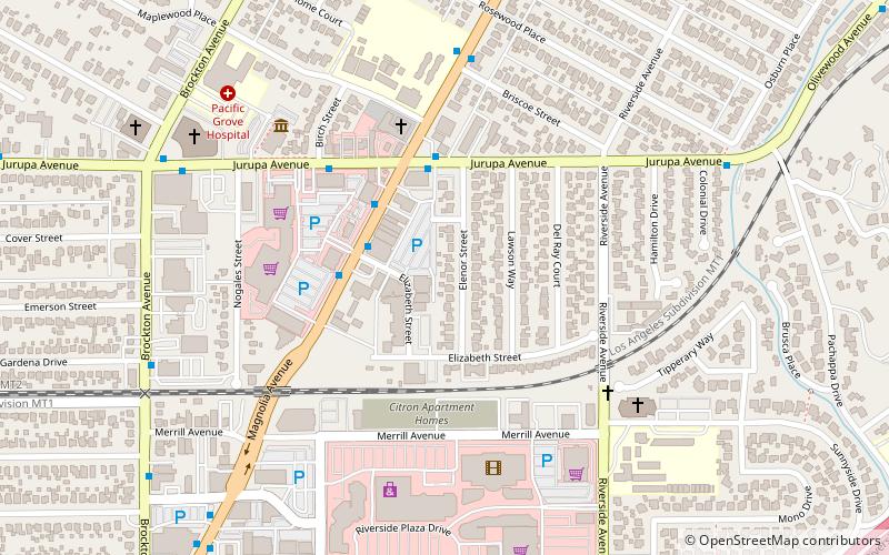
Pachappa Hill is a summit in the Temescal Mountains within the city of Riverside in Riverside County, California. It is a hill that rises to an elevation of 1,175 feet / 358 meters. ()
Coordinates: 33°57'38"N, 117°22'49"W
Address
North Riverside (Magnolia Center)Riverside
ContactAdd
Social media
Add
Day trips
Pachappa Hill – popular in the area (distance from the attraction)
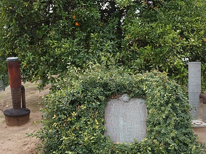
Nearby attractions include: Washington navel orange tree, Riverside Plaza, Victoria Hill, Riverside Unified School District.
Frequently Asked Questions (FAQ)
Which popular attractions are close to Pachappa Hill?
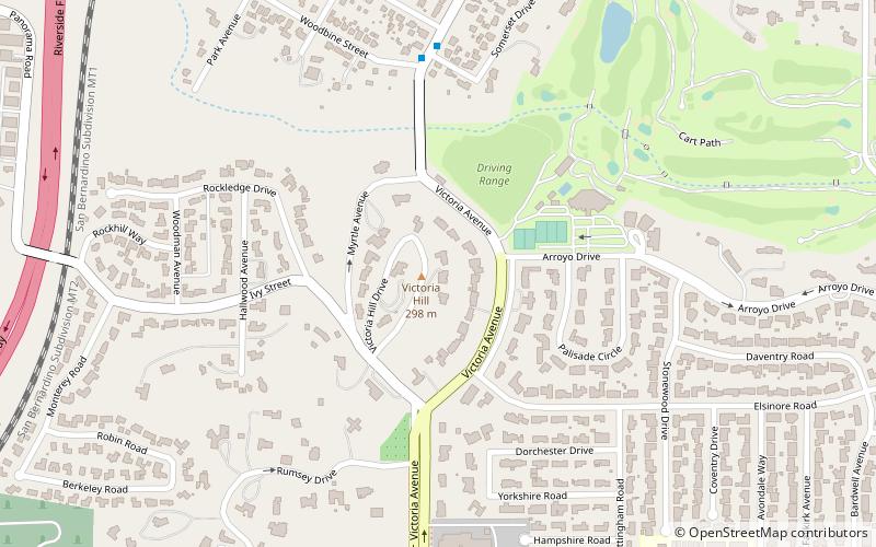
Nearby attractions include Victoria Hill, Riverside (16 min walk), California Southern Law School, Riverside (16 min walk).
How to get to Pachappa Hill by public transport?
The nearest stations to Pachappa Hill:
Bus
Train
Bus
- Magnolia Avenue and Riverside City College • Lines: 1, 13, 15, 50, Gold (22 min walk)
- Magnolia Avenue and Riverside Plaza • Lines: 1, Gold (25 min walk)
Train
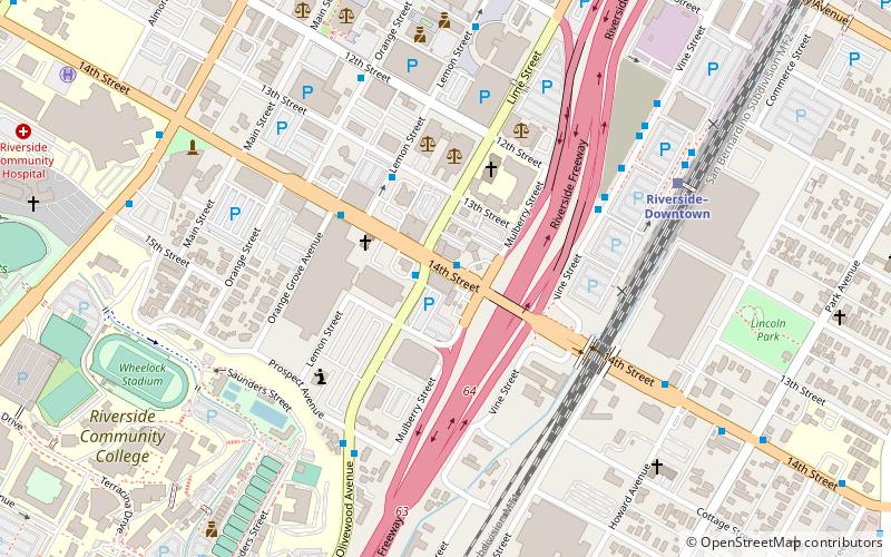
- Riverside–Downtown (31 min walk)
