Mulholland Dam, Burbank
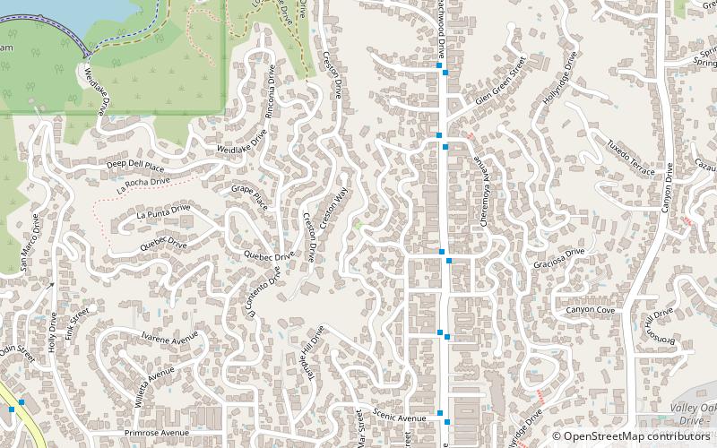
Map
Map

Facts and practical information
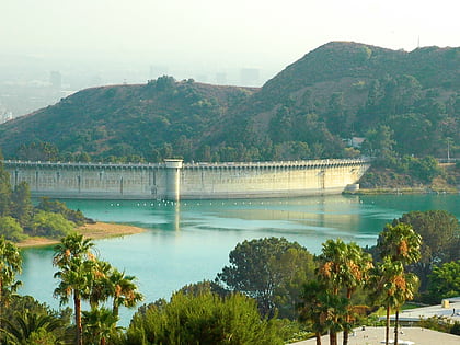
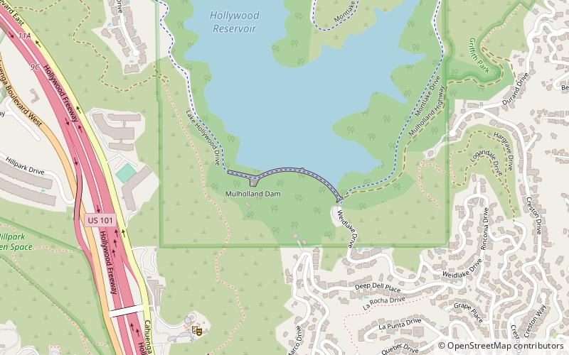
The Mulholland Dam is a Los Angeles Department of Water and Power dam located in the Hollywood Hills of Los Angeles, California, east of the Hollywood Freeway. Designed with a storage capacity of 7,900 acre⋅ft of water at a maximum depth of 183 feet, the dam forms the Hollywood Reservoir, which collects water from various aqueducts and impounds the creek of Weid Canyon. ()
Coordinates: 34°7'4"N, 118°19'54"W
Address
Central Los Angeles (Hollywood Hills)Burbank
ContactAdd
Social media
Add
Day trips
Mulholland Dam – popular in the area (distance from the attraction)
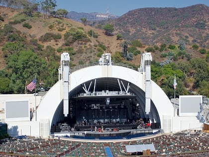
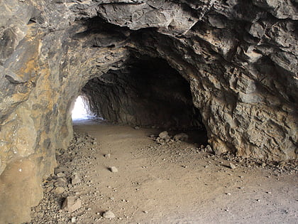
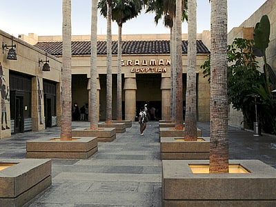
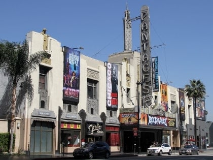
Nearby attractions include: Hollywood Bowl, Bronson Caves, Egyptian Theatre, Pantages Theatre.
Frequently Asked Questions (FAQ)
Which popular attractions are close to Mulholland Dam?
Nearby attractions include Hollywood Reservoir, Los Angeles (2 min walk), Ford Amphitheatre, Los Angeles (9 min walk), Hollywood Cross, Burbank (9 min walk), Hollywood Dell, Burbank (13 min walk).
How to get to Mulholland Dam by public transport?
The nearest stations to Mulholland Dam:
Bus
Metro
Bus
- Franklin & Whitley • Lines: Hollywood (23 min walk)
- Argyle & Yucca • Lines: Hollywood (27 min walk)
Metro
- Hollywood/Vine • Lines: B (30 min walk)
