Chapel of the Pines Crematory, Los Angeles
Map
Facts and practical information
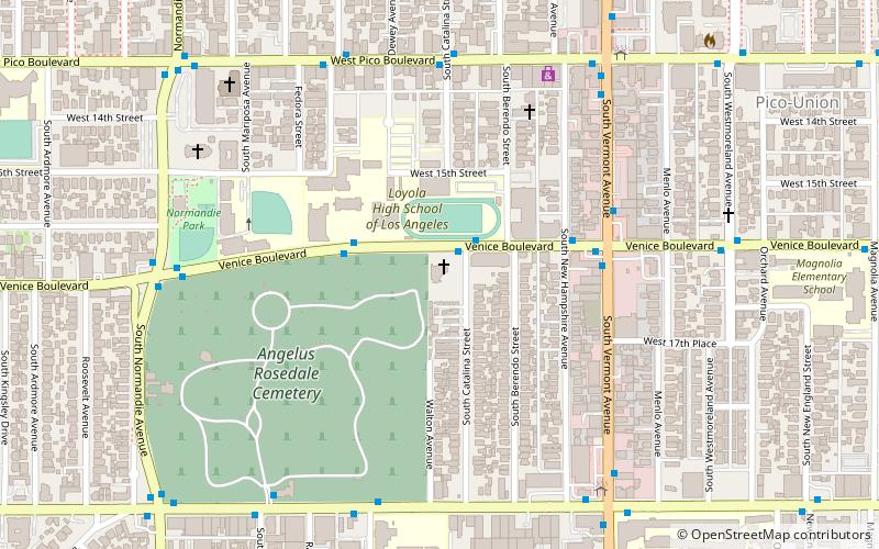
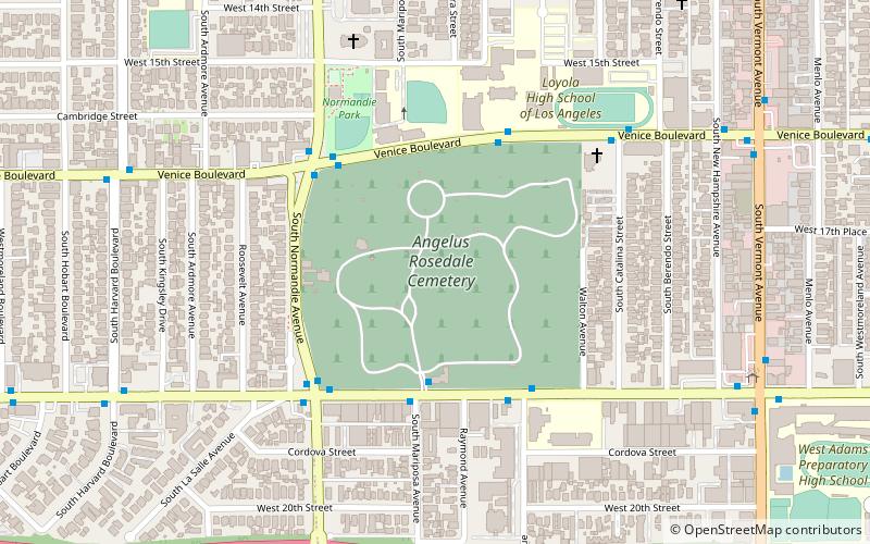
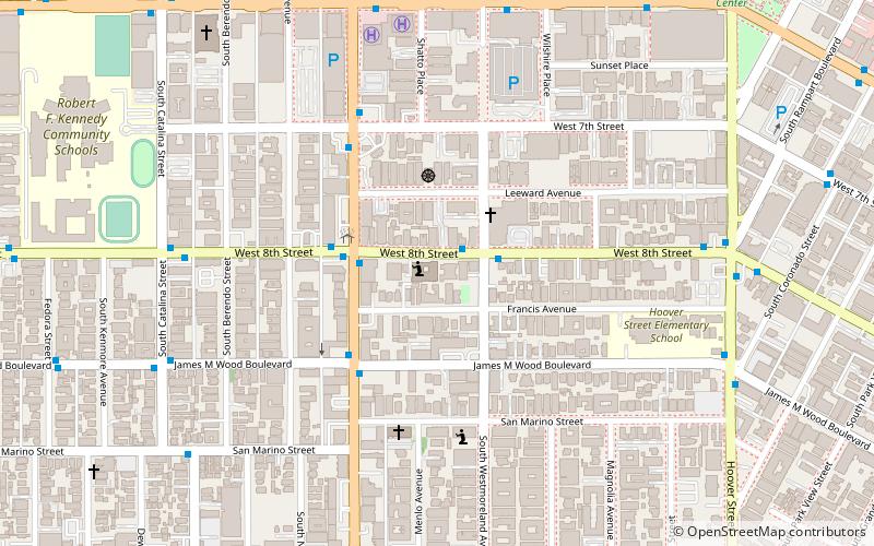
Chapel of the Pines Crematory is a crematory and columbarium located at 1605 South Catalina Street, Los Angeles, in the U.S. state of California, in the historic West Adams District a short distance southwest of Downtown. It is beside Angelus-Rosedale Cemetery, one street east, at the southwest corner of Catalina and Venice Boulevard. ()
Coordinates: 34°2'38"N, 118°17'42"W
Address
Central Los Angeles (Pico Union)Los Angeles
ContactAdd
Social media
Add
Getting there by public transportation
Public transportation stops near this location
- Metro
- Bus
 Metro
Metro
- Calculate routeVermont & Venice 5 min walk
- Calculate routeVermont & Washington 8 min walk
- Calculate routeWestlake/MacArthur Park 37 min walk
Maps Metro & Regional Rail
Metro & Regional RailDay trips
Chapel of the Pines Crematory – popular in the area (distance from the attraction)
Nearby attractions include: Bullocks Wilshire, First African Methodist Episcopal Church of Los Angeles, Zen Center of Los Angeles, Immanuel Presbyterian Church.


Frequently Asked Questions (FAQ)
Which popular attractions are close to Chapel of the Pines Crematory?
Nearby attractions include Angelus-Rosedale Cemetery, Los Angeles (6 min walk), Saint Sophia Cathedral, Los Angeles (9 min walk), St. Thomas the Apostle Catholic Church, Los Angeles (9 min walk), Harvard Heights, Los Angeles (14 min walk).
How to get to Chapel of the Pines Crematory by public transport?
The nearest stations to Chapel of the Pines Crematory:
Bus
Metro
Bus
- Vermont & Venice • Lines: 204 (5 min walk)
- Vermont & Washington • Lines: 204, 754 (8 min walk)
Metro
- Westlake/MacArthur Park • Lines: B, D (37 min walk)