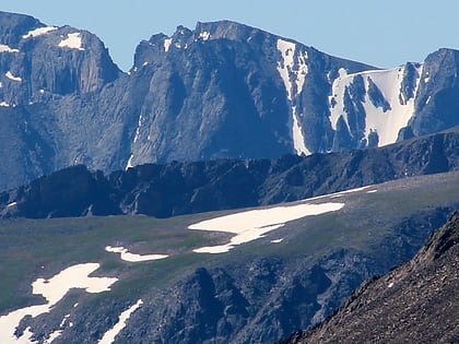
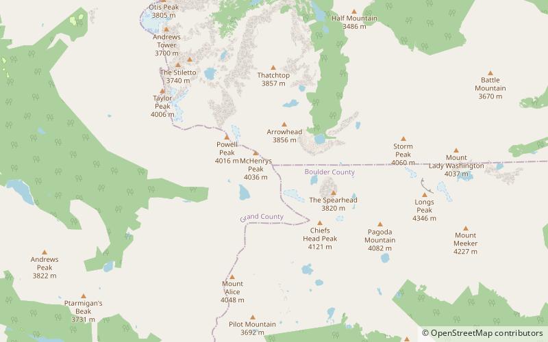
Powell Peak, Rocky Mountain National Park
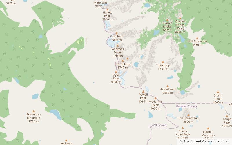
Map
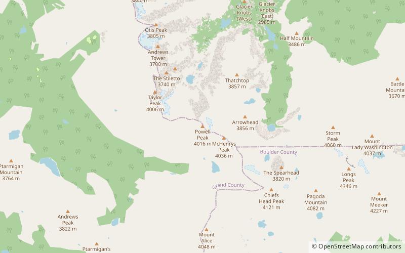
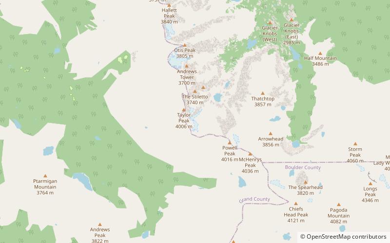
Map

Facts and practical information
Powell Peak is a summit in Grand County, Colorado, in the United States. With an elevation of 13,176 feet, Powell Peak is the 512th highest summit in the state of Colorado. ()
Coordinates: 40°15'57"N, 105°39'53"W
Address
Rocky Mountain National Park
ContactAdd
Social media
Add
Day trips
Powell Peak – popular in the area (distance from the attraction)
Nearby attractions include: Taylor Peak, Petit Grepon, Taylor Glacier, South Face.
Frequently Asked Questions (FAQ)
Which popular attractions are close to Powell Peak?
Nearby attractions include Taylor Glacier, Rocky Mountain National Park (20 min walk), Stone Man Pass, Rocky Mountain National Park (20 min walk).
