Russellville Downtown Historic District, Russellville
Map

Map

Facts and practical information
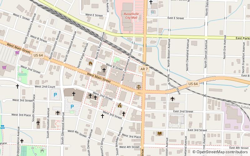
The Russellville Downtown Historic District encompasses an eight-block area of downtown Russellville, Arkansas. This area, developed primarily between 1875 and 1930, includes the city's highest concentration of period commercial architecture, a total of 34 buildings. Most of them are brick, one or two stories in height, and in a variety of styles. The district is roughly bounded by Arkansas and West 2nd Streets, El Paso Avenue, and the Missouri-Pacific Railroad tracks. ()
Coordinates: 35°16'44"N, 93°8'6"W
Address
Russellville
ContactAdd
Social media
Add
Day trips
Russellville Downtown Historic District – popular in the area (distance from the attraction)
Nearby attractions include: First Christian Church, Russellville Masonic Temple, Physical Education Building, Russellville City Mall.
Frequently Asked Questions (FAQ)
Which popular attractions are close to Russellville Downtown Historic District?
Nearby attractions include Russellville Masonic Temple, Russellville (3 min walk), First Christian Church, Russellville (5 min walk), John W. White House, Russellville (18 min walk).


