McLachlen Building, Washington D.C.
Map
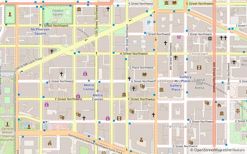
Map

Facts and practical information
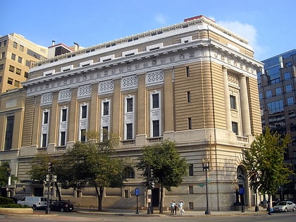
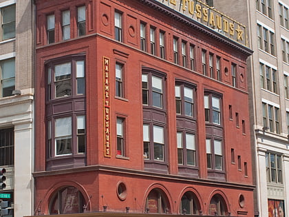
The McLachlen Building is a historic structure located in Downtown Washington, D.C. It has been listed on the District of Columbia Inventory of Historic Sites since 1985, and it was listed on the National Register of Historic Places in 1986. ()
Architectural style: NeoclassicismCoordinates: 38°53'55"N, 77°1'34"W
Address
Northwest Washington (Downtown-Penn Quarter-Chinatown)Washington D.C.
ContactAdd
Social media
Add
Day trips
McLachlen Building – popular in the area (distance from the attraction)
Nearby attractions include: National Portrait Gallery, Smithsonian American Art Museum, International Spy Museum, Ford's Theatre.
Frequently Asked Questions (FAQ)
Which popular attractions are close to McLachlen Building?
Nearby attractions include St. Patrick's Catholic Church, Washington D.C. (2 min walk), Madame Tussauds DC, Washington D.C. (2 min walk), District of Columbia Public Library, Washington D.C. (2 min walk), Martin Luther King Jr. Memorial Library, Washington D.C. (3 min walk).
How to get to McLachlen Building by public transport?
The nearest stations to McLachlen Building:
Metro
Bus
Train
Tram
Metro
- Metro Center • Lines: Bl, Or, Rd, Sv (3 min walk)
- Gallery Place • Lines: Gr, Rd, Yl (6 min walk)
Bus
- 19th St & F St Northwest (24 min walk)
- MTA Bus Stop • Lines: 305, 315 (25 min walk)
Train
- L'Enfant (25 min walk)
- Washington Union Station (28 min walk)
Tram
- Union Station • Lines: H Street/Benning Road Streetcar (30 min walk)


