Phyllis Wheatley YWCA, Washington D.C.
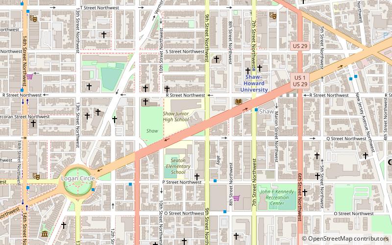
Map

Map

Facts and practical information
The Phyllis Wheatley YWCA is a Young Women's Christian Association building in Washington, D.C., that was designed by architects Shroeder & Parish and was built in 1920. It was listed on the National Register of Historic Places in 1983. ()
Coordinates: 38°54'42"N, 77°1'28"W
Day trips
Phyllis Wheatley YWCA – popular in the area (distance from the attraction)
Nearby attractions include: Black Cat, U Street Music Hall, Bohemian Caverns, Equestrian statue of John A. Logan.
Frequently Asked Questions (FAQ)
Which popular attractions are close to Phyllis Wheatley YWCA?
Nearby attractions include Carter G. Woodson Home National Historic Site, Washington D.C. (2 min walk), Blagden Alley-Naylor Court Historic District, Washington D.C. (3 min walk), Shaw, Washington D.C. (3 min walk), Logan Circle, Washington D.C. (4 min walk).
How to get to Phyllis Wheatley YWCA by public transport?
The nearest stations to Phyllis Wheatley YWCA:
Metro
Bus
Tram
Train
Metro
- Shaw–Howard University • Lines: Gr, Yl (5 min walk)
- U Street • Lines: Gr, Yl (10 min walk)
Bus
- MTA Bus Stop • Lines: 305, 315 (32 min walk)
- BoltBus (33 min walk)
Tram
- Union Station • Lines: H Street/Benning Road Streetcar (34 min walk)
Train
- Washington Union Station (35 min walk)


