Berklee College of Music, Boston
Facts and practical information
Berklee College of Music is a private music college in Boston, Massachusetts. It is the largest independent college of contemporary music in the world. Known for the study of jazz and modern American music, it also offers college-level courses in a wide range of contemporary and historic styles, including rock, hip hop, reggae, salsa, heavy metal and bluegrass. Berklee alumni have won 310 Grammy Awards, more than any other college, and 108 Latin Grammy Awards. Other notable accolades for its alumni include 34 Emmy Awards, 7 Tony Awards, 8 Academy Awards, and 3 Saturn Awards. ()
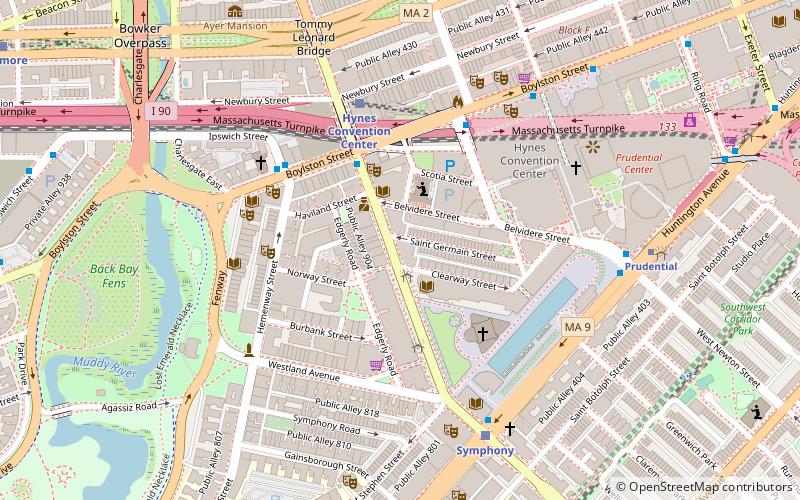
186 Massachusetts AvenueFenway - Kenmore - Audubon Circle - LongwoodBoston
- Metro
- Bus
- Light rail
- Train
 Metro
Metro
- Calculate routeMassachusetts Ave @ Boylston St 3 min walk
- Calculate routeBoylston St @ Saint Cecilia St 3 min walk
- Calculate routeHynes Convention Center 5 min walk
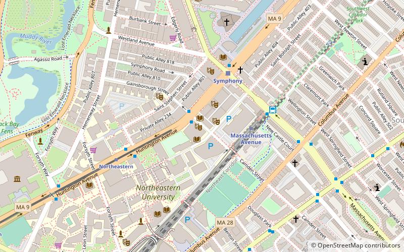
- Calculate routeSymphony 6 min walk
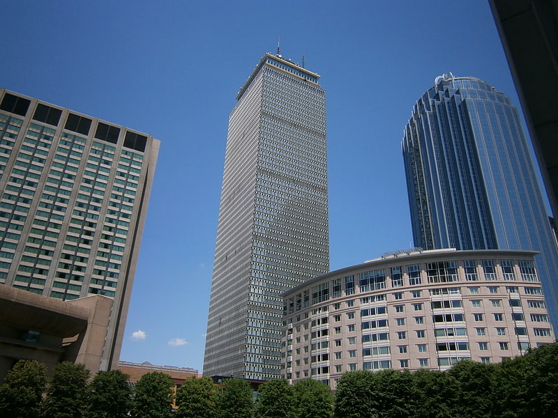
- Calculate routePrudential 8 min walk
- Calculate routeNortheastern 11 min walk
- Calculate routeMassachusetts Avenue 10 min walk
- Calculate routeBack Bay 17 min walk
- Calculate routeRuggles 17 min walk
- Calculate routeRoxbury Crossing 29 min walk
- Calculate routeBoston Back Bay 16 min walk
- Calculate routeRuggles 17 min walk
- Calculate routeLansdowne 18 min walk
 MBTA Subway
Berklee College of Music – popular in the area (distance from the attraction)
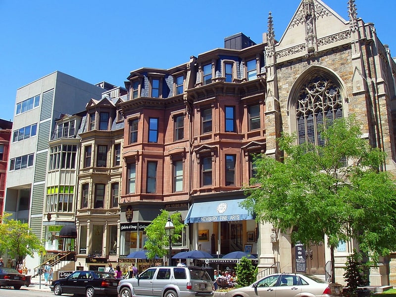
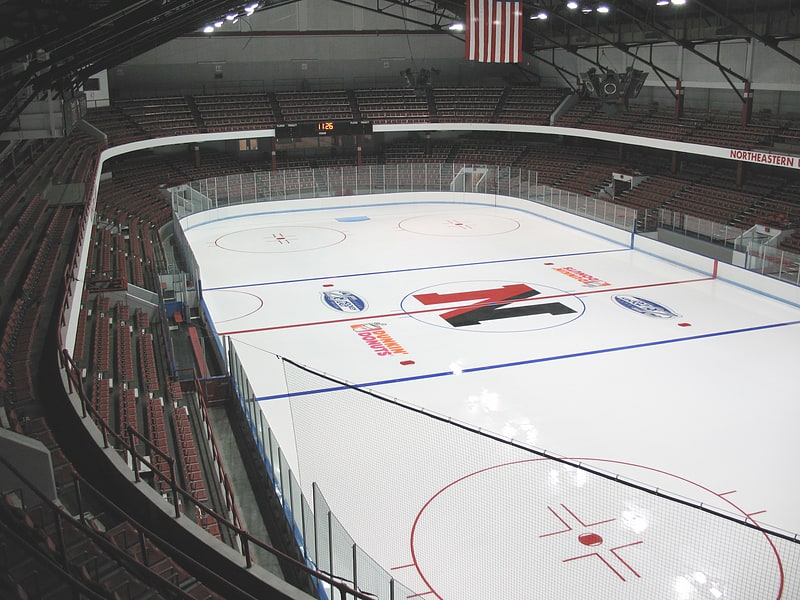
Nearby attractions include: Newbury Street, Skywalk Observatory, Matthews Arena, Newbury Comics.


Frequently Asked Questions (FAQ)
Which popular attractions are close to Berklee College of Music?
How to get to Berklee College of Music by public transport?
Bus
- Massachusetts Ave @ Boylston St • Lines: 1 (3 min walk)
- Boylston St @ Saint Cecilia St • Lines: 55 (3 min walk)
Light rail
- Hynes Convention Center • Lines: B, C, D (5 min walk)
- Symphony • Lines: E (6 min walk)
Metro
- Massachusetts Avenue • Lines: Orange (10 min walk)
- Back Bay • Lines: Orange (17 min walk)
Train
- Boston Back Bay (16 min walk)
- Ruggles (17 min walk)