St. Paul Street-Calvert Street, Baltimore
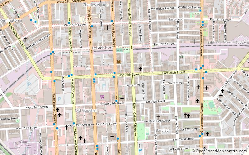
Map
Facts and practical information
St. Paul Street and Calvert Street are a one-way pair of streets in Downtown Baltimore and areas north. The streets, which are part of Maryland Route 2, are two of Baltimore's best-known streets in the downtown area. ()
Coordinates: 39°19'4"N, 76°36'53"W
Address
Northern Baltimore (Barclay)Baltimore
ContactAdd
Social media
Add
Getting there by public transportation
Public transportation stops near this location
- Metro
- Bus
- Light rail
- Train
 Metro
Metro
- Calculate route25th Street & Saint Paul Street Eastbound Near-side 2 min walk
- Calculate routeSaint Paul Street & 25th Street Southbound 2 min walk
- Calculate routeSaint Paul Street & 24th Street Southbound 3 min walk
- Calculate route25th Street - Northbound 3 min walk
- Calculate routeNorth Avenue 15 min walk
- Calculate routeBaltimore Penn Station 19 min walk
- Calculate routeMount Royal/MICA 20 min walk
- Calculate routeCultural Center 26 min walk
- Calculate routeBaltimore Penn Station 18 min walk
- Calculate routeState Center/Cultural Center 31 min walk
- Calculate routeUpton–Avenue Market 37 min walk
Day trips
St. Paul Street-Calvert Street – popular in the area (distance from the attraction)
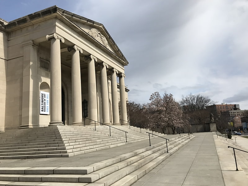
Nearby attractions include: Baltimore Museum of Art, Lyric Performing Arts Center, Lovely Lane United Methodist Church, Union Soldiers and Sailors Monument.


Frequently Asked Questions (FAQ)
Which popular attractions are close to St. Paul Street-Calvert Street?
Nearby attractions include Old Goucher, Baltimore (5 min walk), Lovely Lane United Methodist Church, Baltimore (6 min walk), Barclay, Baltimore (7 min walk), Harwood, Baltimore (8 min walk).
How to get to St. Paul Street-Calvert Street by public transport?
The nearest stations to St. Paul Street-Calvert Street:
Bus
Light rail
Train
Metro
Bus
- 25th Street & Saint Paul Street Eastbound Near-side • Lines: 103, 21 (2 min walk)
- Saint Paul Street & 25th Street Southbound • Lines: 95, Purple, Sv (2 min walk)
Light rail
- North Avenue • Lines: Lr (15 min walk)
- Baltimore Penn Station • Lines: Lr (19 min walk)
Train
- Baltimore Penn Station (18 min walk)
Metro
- State Center/Cultural Center • Lines: M (31 min walk)
- Upton–Avenue Market • Lines: M (37 min walk)