Shadelands Ranch, Walnut Creek
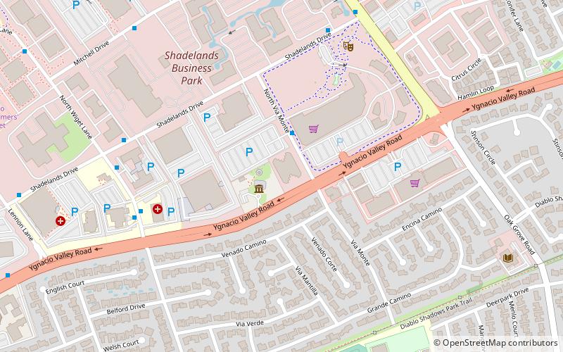
Map

Map

Facts and practical information
Shadelands Ranch was established by Hiram Penniman, an early American settler of California in 1856 as one of the first and largest farms in California's Ygnacio Valley. ()
Coordinates: 37°55'34"N, 122°1'10"W
Address
Walnut Creek
Contact
+1 925-935-7871
Social media
Add
Day trips
Shadelands Ranch – popular in the area (distance from the attraction)
Nearby attractions include: Broadway Plaza, Sunvalley Shopping Center, Willows Shopping Center, Lindsay Wildlife Experience.
Frequently Asked Questions (FAQ)
How to get to Shadelands Ranch by public transport?
The nearest stations to Shadelands Ranch:
Bus
Bus
- North Via Monte & Shadelands Drive • Lines: 7 (2 min walk)
- North Wiget Lane & Ygnacio Valley Road • Lines: 1, 92X (7 min walk)


