Mary's Club, Portland


Facts and practical information
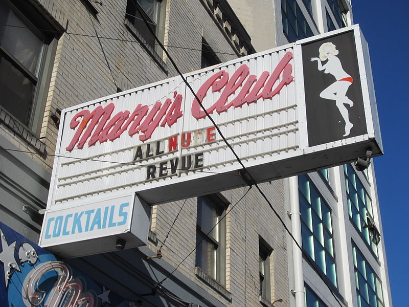
Mary's Club is the oldest strip club in Portland, Oregon, in the United States. In 1954 Roy Keller bought the business from Mary Duerst Hemming, who owned and operated Mary's as a piano bar beginning in the 1930s. Keller initially hired go-go dancers as entertainment during the piano player's breaks, later hiring them full-time because of their popularity. Topless dancers wearing pasties were introduced in 1955. The club also featured comics, musicians, singers and other acts. All-nude dancing began in 1985, after a judicial ruling against City of Portland ordinances banning it in venues which served alcohol. ()
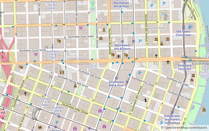
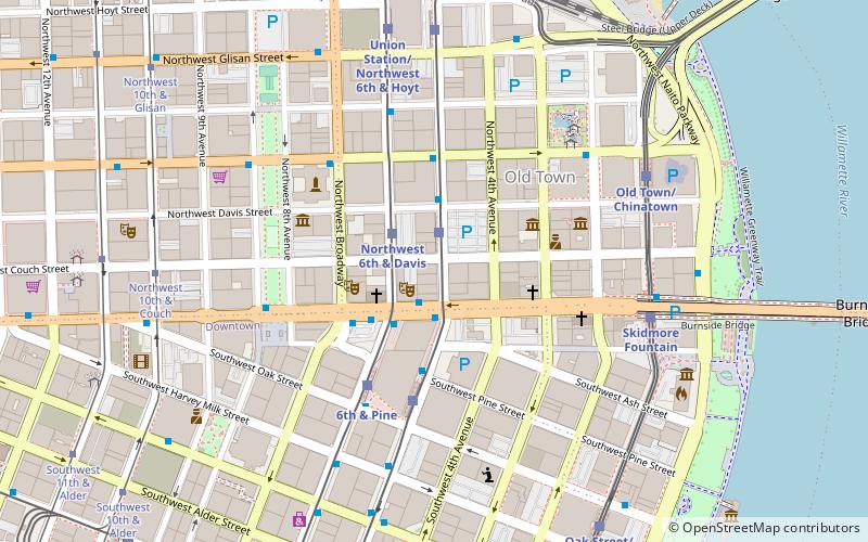
129 Southwest BroadwayDowntown PortlandPortland
Mary's Club – popular in the area (distance from the attraction)
Nearby attractions include: Dante's, Stag PDX, Barbarella, Silverado.
Frequently Asked Questions (FAQ)
Which popular attractions are close to Mary's Club?
How to get to Mary's Club by public transport?
Bus
- Southwest Broadway & West Burnside • Lines: 1, 54, 56 (1 min walk)
- West Burnside & Southwest 6th • Lines: 12, 19, 20 (2 min walk)
Light rail
- Southwest 6th & Pine • Lines: Green, Yellow (2 min walk)
- Southwest 5th & Oak • Lines: Green, Orange (3 min walk)
Tram
- Northwest 10th & Couch • Lines: A, Ns (5 min walk)
- Northwest 11th & Couch • Lines: B, Ns (6 min walk)
Train
- Portland Union Station (11 min walk)


