Antioch/Oakley Regional Shoreline, Antioch
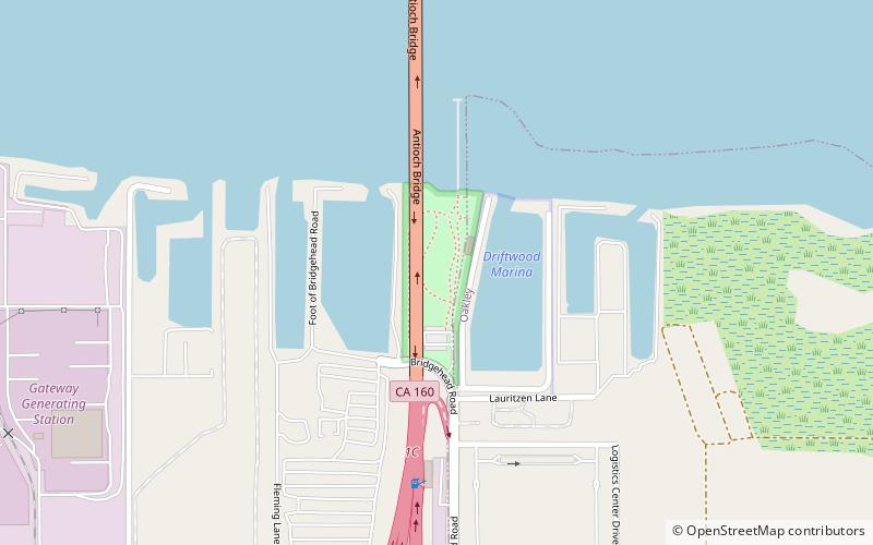
Map
Facts and practical information
Antioch/Oakley Regional Shoreline is a regional park that is part of the East Bay Regional Parks system. It is located on the south shore of the San Joaquin River in Contra Costa County, California, between the cities of Antioch and Oakley. It is owned by the State of California and operated on a no-cost lease by the East Bay Regional Parks District. The park was begun in 1979, when the adjacent John Nejedly Bridge was constructed across the river. The park was originally named Antioch Regional Shoreline, and was given its present name when Oakley incorporated as a city in 1999. ()
Elevation: 7 ft a.s.l.Coordinates: 38°1'6"N, 121°45'4"W
Day trips