Palmer Brook Bridge
Map

Map

Facts and practical information
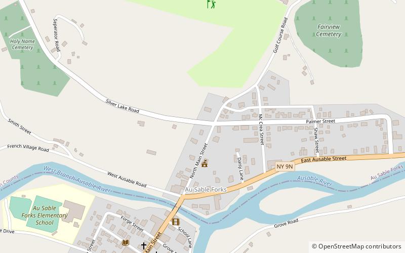
Palmer Brook Bridge is a historic stone faced, concrete arch bridge over the Ausable River at AuSable Forks in Clinton County, New York. It was built in 1938 with assistance from the Works Progress Administration. The bridge is 25 feet in length, 15 feet wide, and six feet in height. ()
Coordinates: 44°26'37"N, 73°40'29"W
Location
New York
ContactAdd
Social media
Add
Day trips
Palmer Brook Bridge – popular in the area (distance from the attraction)
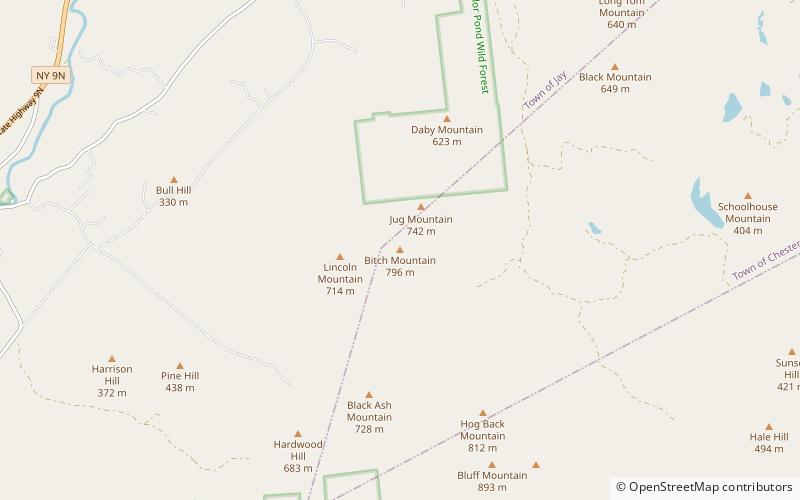
Nearby attractions include: Jay Bridge, Tahawus Center, Bitch Mountain.


