Pearce Ferry
Map

Map

Facts and practical information
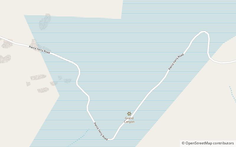
Pearce Ferry marks the boundary between Lake Mead and the Grand Canyon, where the low sandy banks around the lake give way to imposing, colorfully layered cliffs that enclose the Colorado River for the next 277 miles upstream. Lake Mead, and all of its points of interest, is managed by the National Park Service and available to the public for recreational purposes. A ferry was operated here by the Pearce family starting around 1876. ()
Coordinates: 36°6'54"N, 113°59'49"W
Location
Arizona
ContactAdd
Social media
Add
