Point Blunt Light, San Francisco
Map
Facts and practical information
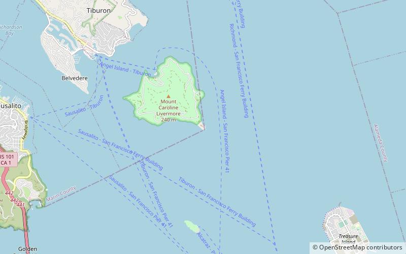
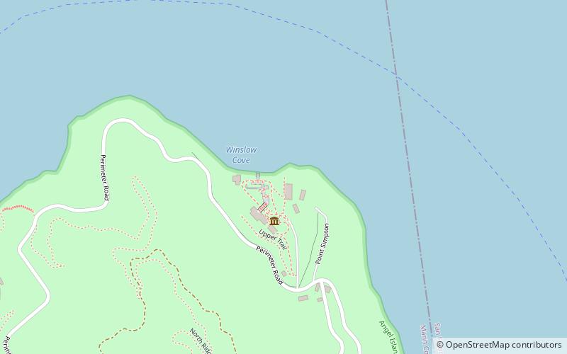
Point Blunt Light is a lighthouse on Angel Island in San Francisco Bay, California. ()
Coordinates: 37°51'12"N, 122°25'9"W
Address
San Francisco
ContactAdd
Social media
Add
Getting there by public transportation
Public transportation stops near this location
- Ferry
 Ferry
Ferry
- Calculate routeAngel Island Ferry Terminal 36 min walk
Maps Muni Metro
Muni MetroDay trips


Frequently Asked Questions (FAQ)
How to get to Point Blunt Light by public transport?
The nearest stations to Point Blunt Light:
Ferry
Ferry
- Angel Island Ferry Terminal • Lines: Blue & Gold Fleet (36 min walk)