Rosecrans Avenue, Los Angeles

Map
Facts and practical information
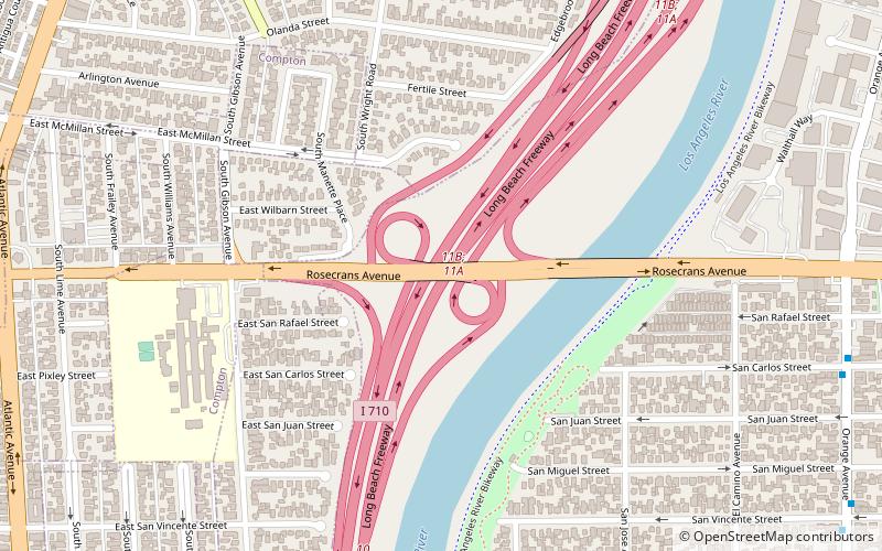
Rosecrans Avenue is a major west-east thoroughfare in Los Angeles and Orange Counties, California, USA. It has a total length of 27.5 miles. The street is named after U.S. Union General William S. Rosecrans, who purchased 13,000 acres of Rancho Sausal Redondo southwest of Los Angeles in 1869. Rosecrans Avenue was originally named Drexel Avenue, and ran through the Rosecrans Rancho which is part of modern-day Gardena. ()
Coordinates: 33°54'13"N, 118°11'8"W
Address
Southeast Los Angeles (Compton)Los Angeles
ContactAdd
Social media
Add
Day trips
Rosecrans Avenue – popular in the area (distance from the attraction)
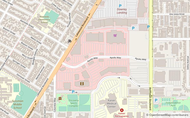
Nearby attractions include: Columbia Memorial Space Center, Watts Towers, Stonewood Center, Promenade at Downey.
Frequently Asked Questions (FAQ)
How to get to Rosecrans Avenue by public transport?
The nearest stations to Rosecrans Avenue:
Bus
Bus
- Fronteras Del Norte (19 min walk)
- Garfield / Rosecrans • Lines: 258 (25 min walk)
 Metro & Regional Rail


