Saint Regis Pond
Map

Map

Facts and practical information
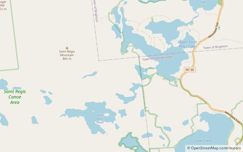
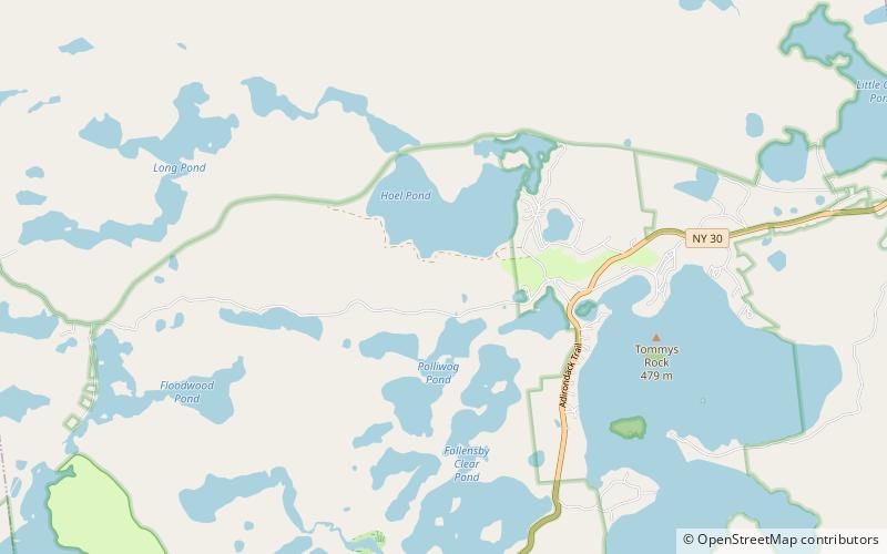
Saint Regis Pond is a 400-acre pond, the largest in the Saint Regis Canoe Area in the Adirondacks in northern New York state. It drains into the west branch of the St. Regis River. It is the centerpiece of the "Seven Carries" canoe route. ()
Coordinates: 44°23'51"N, 74°17'56"W
Location
New York
ContactAdd
Social media
Add
Day trips
Saint Regis Pond – popular in the area (distance from the attraction)
Nearby attractions include: White Pine Camp, Upper St. Regis Lake, Lower St. Regis Lake, Saint Regis Mountain.


